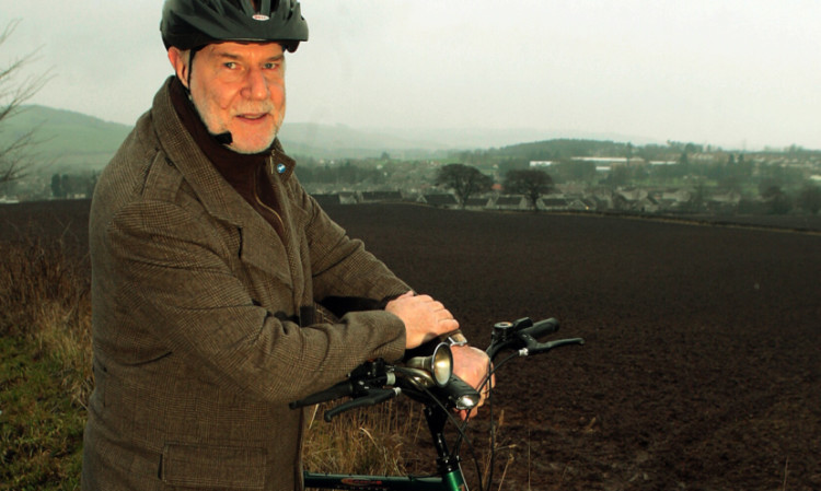
Plans for the massive expansion of Cupar should incorporate cycle paths and footways to keep as many cars as possible out of the town, according to local environmental group Sustainable Cupar.
It would also be an opportunity to incorporate eco-housing designs and explore pioneering energy-efficiency schemes, with good access to public transport a must, the charity says.
The Courier revealed a fortnight ago that a masterplan that could see Cupar finally have an £18 million bypass, and with it a new primary school, hundreds of new homes and a retail park, is pressing ahead.
Proposal of Application Notices (PAN) for the Cupar North project are expected to be submitted in the spring, adding to a PAN already submitted for the Gillesfauld’s site, close to the Drum housing estate.
In a discussion at this week’s meeting of Cupar Community Council, Sustainable Cupar chairman Andy Collins, who sits on the community council, said the charity was recommending that the masterplan for the Cupar North development should start with a pedestrian/cycle path around the existing perimeter of the town.
This, he said, will leave small plots of land next to existing housing which should be preserved as green space. Where this path crosses roads, serious consideration should be given to closing these roads.
The group says there is a case for keeping Bank Street open for emergency access, but all other radial roads (Bishopgate, Kinloss Drive and Balgarvie Road) could terminate at the new path. Access beyond the path would be from the relief road.
Mr Collins added: “The new path will give sustainable access to the whole of the new development but it is also necessary to make sure that users can get safely into the town centre. This is tricky and different solutions may be needed from different points along the path.
“One possible solution would be to change some of the existing roads into one-way streets so that the other half can be used for sustainable use. This main arterial path would have links to all the Cupar North estate paths so that people can walk/cycle anywhere within Cupar North without touching a road, except when crossing Bank Street and the Carslogie Road.
“All paths need to be safe to use and should have houses overlooking them wherever possible. They should also be lit with non-polluting lighting.”
Fife Council planner Andrew Sim, who attended the meeting, told The Courier: “Officers welcomed the opportunity to provide context and information on Strategic Development Area proposals for Cupar to the recent meeting of Cupar Community Council.
“The points raised by those present did include the need to promote walking and cycling routes within the Cupar North Strategic Development Area and that the proposed relief road should have the effect of channelling through-traffic away from the town centre.
“It was also clear from discussion that the forthcoming masterplan for Cupar North should give particular focus to the integration of land uses, including housing and open space, to ensure that walking and cycling is safe and convenient.
“Proposals for the growth of Cupar and long-term environmental improvements from reduced traffic flows within the town centre are set out in the adopted Local Plan. These proposals include the construction of a relief road, new homes, open space, a primary school, business park and a retail park on land identified to the north, north west and north east of the existing town boundary.”
He added that a consultation regarding Fife’s single Local Development Plan FIFEplan will continue until Wednesday.
To take part go to www.fifedirect.org.uk/fifeplan.
