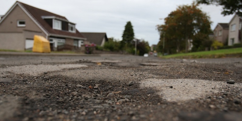
Dundee City Council has a list of its worst roads but is not releasing details to the public.
The chart, understood to contain around 550 locations, is used annually to prioritise the authority’s adopted carriageway resurfacing/reconstruction work with each thoroughfare inspected, assessed and then ranked according to its condition.
The list came to the attention of The Courier last week after the Ferry ward councillor Rod Wallace raised concerns about the condition of some roads in his area.
In an email response to the elected representative from Fergus Wilson, the local authority’s city engineer, it emerged two roads in Barnhill are on the list.
“Of the 2000-plus roads in Dundee, only those in the poorest condition will be reviewed for possible inclusion (in the list),” wrote Mr Wilson. “Due to limited funding this means in reality that approximately 30 or so of those roads in the worst condition are given priority each year and are included in the following year’s carriageway programme.”
Two roads named in Mr Wilson’s email are Falkland Crescent and Torridon Road, both of which are in Barnhill. Falkland Crescent which gets a lot of traffic from teachers and parents travelling to the nearby Barnhill Primary School was ranked at 295, and Torridon Road sits in 276th place.
Since last week The Courier has attempted to reveal the full contents of the list, but the authority has not given any details.
A spokesman for Dundee City Council said there are approximately 550km of adopted roads to be maintained across Dundee.
“A report on the road maintenance partnership performance is considered by councillors on an annual basis,” he said. “This details work that has been carried out on roads across the city by Tayside Contracts on behalf of the council.
“For example, it shows the number of potholes that have been fixed and the methods that were used. There is also a yearly road asset condition and backlog report which is presented to committee.
“There is ongoing inspection of roads across Dundee which means that there is a rolling programme of maintenance, with routes given priority on a number of criteria including their condition, usage and strategic priority among other factors.”Roadworks warningDrivers in the west of the city centre are being advised to find alternative routes as two streets in the area will be closed from Monday.
Resurfacing works in Union Street and Whitehall Crescent will see them closed to all through traffic.
Union Street will be closed for its entire length, while no through traffic will be able to use Whitehall Crescent from Whitehall Street to Crichton Street.
Pedestrian and vehicle access to premises will be maintained in both streets during the work.
At the same time Yeaman Shore will become two-way between West Marketgait and Union Street for the duration of the works.
An alternative route avoiding Union Street will be available for eastbound traffic via Nethergate, Crichton Street and Dock Street and for westbound traffic via Nethergate, West Marketgait and Yeaman Shore.
Drivers can avoid Whitehall Crescent by taking an alternative route available via Whitehall Street, Nethergate and Crichton Street.
