I cannot remember the last time I visited The Trossachs when it was not raining. No surprise then that this is an area where lochs and reservoirs, streams and rivers dominate the landscape.
True to form I arrived in Callander under cloudy skies, insistent drizzle permeating the air, the inclement conditions prompting me to seek out a sheltered forest walk.
Lying just a couple of miles west of the town, Invertrossachs Forest fitted the bill perfectly, a trail through the trees visiting a hidden fishing lochan before returning along the southern shoreline of Loch Venachar.
Planted in the 1970s, the forest was, like many other commercial plantations in the country, originally coniferous. However, felling and replanting over time has produced a more diverse array of species, including rowan, oak and silver birch.
The single-track public road from Callander ends at lochside East Lodge, beyond which there is a car park where the forest track begins.
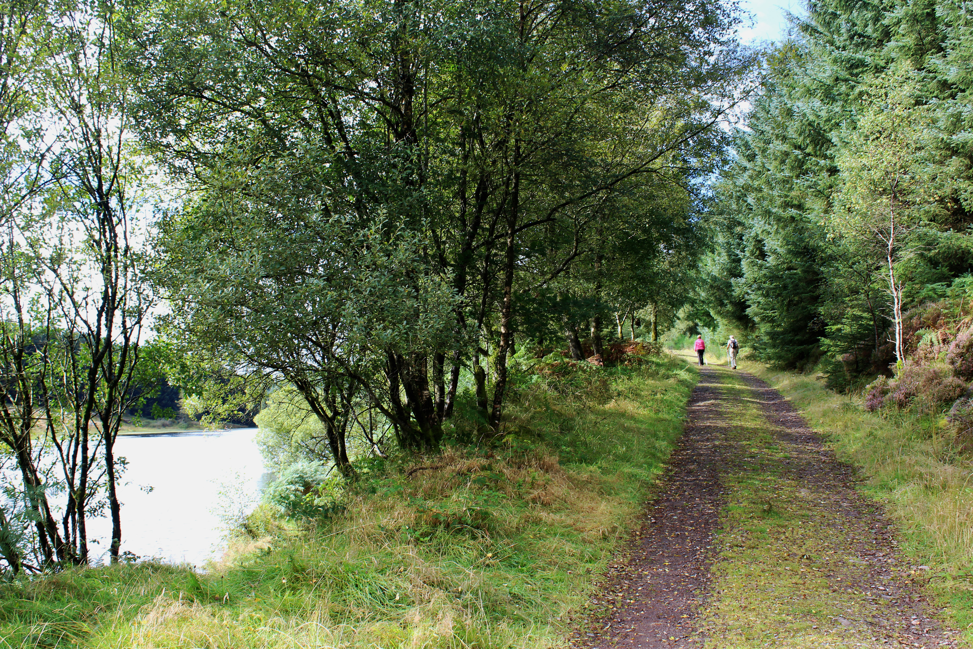
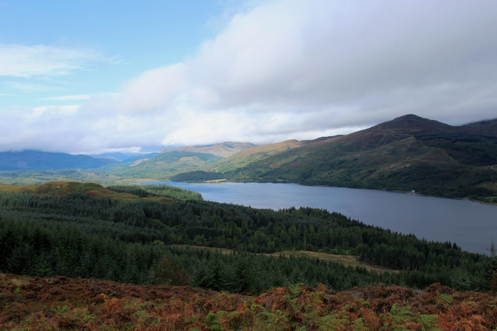
Signed for Aberfoyle and initially rising quite steeply, the way swings through a pair of track intersections before a less demanding incline leads west, relatively open slopes offering a fine outlook over Loch Venachar towards distant peaks, Ben Ledi, to the north, and Ben A’an, to the west, prominent on the skyline.
Here the walk follows the Rob Roy Way, a long distance trail that passes through
The Trossachs, an area of the country with strong links to the famous outlaw. He was born in Glen Gyle, at the west end of Loch Katrine, had lands on the eastern side of Loch Lomond and was laid to rest in the graveyard of the old kirk in Balquhidder.
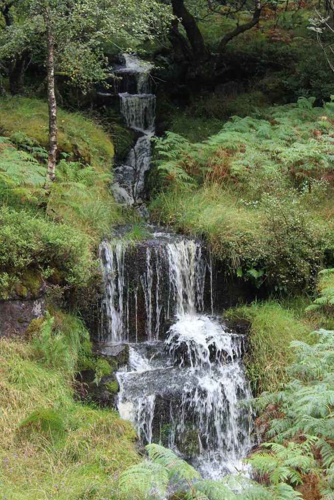
Passing occasional small falls of water skipping out of the evergreens to my left, the drizzle finally ceased and the clouds slowly parted, slivers of blue sky offering hope of better weather to come.
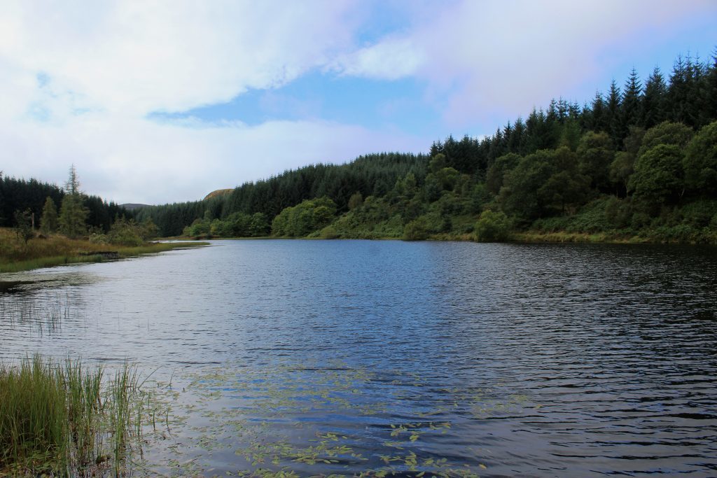
As I reached the lochan, the sun made its first appearance of the day and I sat awhile by an anglers’ shed and jetty at the end of the ribbon of water enjoying the serenity of the spot.
The pool, which is fed by the Allt a’Chip Dhuibh and is often referred to as Lochan Allt a’Chip Dhuibh, is artificial, one of two fishing stanks on the Invertrossachs Estate.
My onward route, along the northern side of the water, crossed the embankment dam, climbing above grassy slopes peppered with silver birch to a junction where the Roy Roy Way branches left to Aberfoyle.
Continuing on the main track, the way snakes between heather-clad hillocks studded with rocky outcrops, passing through Bealach nan Carn where the descent to Loch Venachar begins.
The track dips quite suddenly, looping down to meet the private lochside road to the east of Invertrossachs Country House, a former Edwardian hunting lodge built in 1911.
Lying downstream from Loch Katrine and Loch Achray, Loch Venachar, at a little under four miles in length, is one of the larger lochs in the Trossachs. Using tracks, paths and minor roads, it is possible to walk right around it.
For now, however, I was content to follow the single-track strip of asphalt east along the shoreline, passing a Scout camp and sailing club on my way back to East Lodge, enjoying the change in weather and the views clearer skies afforded over this beautiful stretch of water.
ROUTE
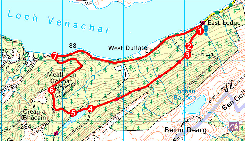
1. Following signs for Aberfoyle and Invertrossachs Loop, pass around barrier gate and ascend forest track to junction.
2. Bear left, ascending to second track junction.
3. Ignore track branching left and continue ahead, following track west, rising above cleared and replanted slopes on the right, with views over Loch Venachar.
4. Branch right to fishing lochan and continue ahead on track, crossing embankment dam before ascending through trees.
5. Ignore path branching left to Aberfoyle at waymarker post and continue ahead on track, curving right in due course to pass through Bealach nan Carn.
6. Where track forks, go right, descending to meet minor road beyond barrier gate.
7. Turn right and follow minor road along southern shoreline of Loch Venachar to East Lodge and car park.
INFORMATION
Distance: 7.25km/4½ miles
Ascent: 180m/590ft
Time: 2 hours
Grading: Easy forest route following good tracks and minor road with sections of well-graded ascent and descent
Start/finish: Car park opposite East Lodge at the end of the public section of the Invertrossachs minor road (Grid ref: NN 592055)
Map: Ordnance Survey 1:50,000 Landranger sheet 57; Ordnance Survey 1:25,000 Explorer sheet OL46
Tourist Information: Callander Information Centre, 52-54 Main Street, Callander FK17 8BD (Tel 01877 330342)
Public transport: Only as far as the centre of Callander, 4.5km from the starting point
