Dundee cycling bosses have refreshed their guide to the best bike routes in and around the city.
The first update in three years captures some of the more recent cycling infrastructure investment in Dundee.
That includes an on-road cycle lane on Ninewells Avenue and Union Street, which the council pedestrianised during lockdown.
The map details established leisure routes, such as the Green Circular, which links parks and other places of interest on the outskirts of the city.
The featured routes will also be attractive to those using e-bikes and scooters.
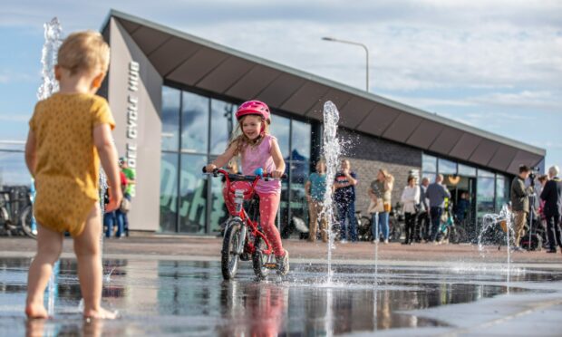
Bike shops, cycle lockers and specialist cycle parking spots are marked. That also includes the new Dundee Cycle Hub on the waterfront.
The map shows the improved path through Dundee Port heading east along the National Cycle Route 1.
And heading in the opposite direction the cycle route heading west along National Cycle Route 77 towards Invergowrie.
Many city communities – including Broughty Ferry, Fintry and Douglas – now have 20 mph speed restrictions to encourage pedestrians and cyclists.
The new map shows these roads in yellow.
Council bosses said physical copies will be available at city bike shops, libraries, community centres, museums, tourist information, Dundee University, Ancrum Outdoor Centre and the Dundee Cycle Hub.
Mark Flynn is convener of Dundee City Council’s city development committee.
He said: “Since the last map was produced three years ago there have been a considerable number of positive developments.”
Officials updated the map after consulting city group Dundee Cycling. Charity Paths for All’s funded the project.

Conversation