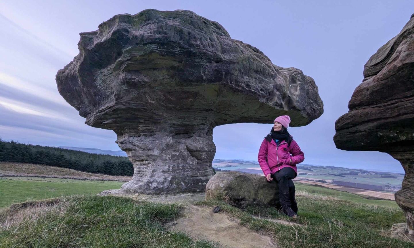
Craig Leek, Braemar, Cairngorms
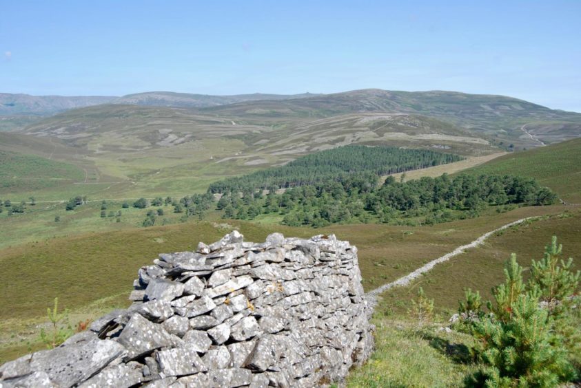
Craig Leek is a rough and craggy little hill on the Invercauld Estate and the five-mile waymarked circuit around its verdant slopes is a popular local walk. It’s also a superb viewpoint and well worth making the extra effort for the short climb to its summit.
The starting point is the well maintained car park at Keiloch, just off the A93 a few miles east of Braemar. There were a few other groups setting off from here, but they were heading for the distant Munros of Beinn a’ Bhuird and Ben Avon and bikes were the order of the day.
The sun was already beating down and we were glad to enter the tree-lined avenue for some welcome shade before hitting the open slopes.
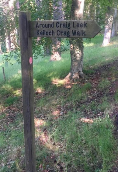
A wooden signpost pointed the way uphill through the straggling pines on a track, part of the old drovers’ route to Tomintoul that once saw thousands of cattle pass this way.
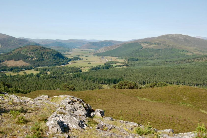
The woodland gradually thinned with height allowing superb views west to Braemar and the wide open spaces of the Forest of Mar and twisting blue of the Dee.
We took a right fork at the high point of the track, then a sharp right after passing through a gap in an old wall and followed the track to the end of the treeline.
We resisted the initial thought of ascending the hill by the line of the wall, instead picking up an ATV track a little further on. This provided a comfortable passage through the heather before trending right towards the wall and the faint path running uphill.
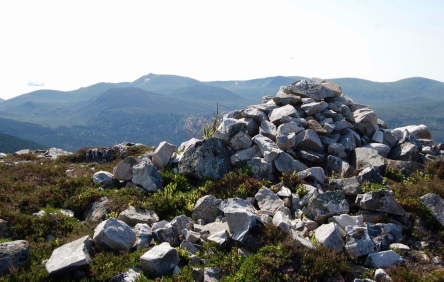
Craig Leek is only 635 metres high but the views from the top are immense: Lochanagar is the main attraction, soaring above its satellites to the south, but the northern exposure is also fine, with Beinn a’ Bhuird and Ben Avon combining to form an unfaltering horizon. It is a fine place to linger on a warm day.
The meaning of Leek is obscure. It is likely an anglicised version of ‘Leac’ or ‘Lichk’, therefore crag of the slabs or flat stones. It is well named, as we discovered when we explored alternative ways down.
Its south-east face is a wall of steep limestone cliffs, but there were problems in every other direction. It is riven with little gullies and slabs, and deep heather allied to extensive tree planting conceal much of the difficulties. The safest and surest way down, therefore, was by retreating by the upward route.
We continued along the track on the waymarked circuit, Lochnagar still the focal point as we entered a small stand of trees, and then followed the snaking line between swathes of head-high bracken.
The ruins of old dwellings on the lower slopes suggested there may have been a possible descent route but a glance at the complex terrain failed to yield any further clues.
We left the main track on a rightward curve, dropping to cross a burn before following a line through boggier ground. Off to the left, under the formidable faces of Craig Leek, we could make out white cotton wool dots on a bed of pear green, swans in water that reflected the tones of the surrounding foliage.
We turned right on the track running across the heavily forested barrier that protects the small summit of Meall Alvie, walking into a continuous chaffinch frenzy, little coloured blurs as they chased each other around in the lower branches.
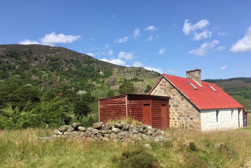
Felagie Cottage, brilliant white with a rust-red roof and rusted nameplate, stood out against its more sedate background. This private bothy, which has been used as a camping base for girl guides, also signalled that we were near the finish line.
A few more steps and we passed the sawmill and estate buildings to emerge at the car park.
ROUTE
1. Head north-west from car park along tarred road past estate buildings and open fields at first then into tree-lined avenue.
2. After 1.5km turn right uphill into trees at wooden direction post (signed: Around Craig Leek). When path splits branch left and follow to next junction, then fork right to reach gap in wall.
3. Once through gap, turn sharp right on track heading east. To ascend Craig Leek, don’t follow wall at end of treeline but instead carry on little further to pick up atv track on right.
4. This track cuts through heather at first then trends right to follow line of wall where faint path rises over one small top on way to summit.
5. Return north by route of ascent to main track, which heads east through small stand of trees then curves south-east downhill. Shortly after passing some ruins, follow track round to right and down to small stream.
6. Cross and go south on track over boggy ground to join track running along wooded slopes of Meall Alvie and turn right.
7. Follow track south-west past white cottage (Felagie) and estate buildings to reach car park.
INFORMATION
Distance: 10km/6.25miles
Ascent: 370m/1,215ft
Time: 3-4 hours
Grading: Estate tracks, woodland and hill paths, regular waymarkers. Suitable for most ages, one short, easy angled ascent (can be omitted). Can be muddy in places, good footwear recommended. Dogs under close control around farm livestock.
Start/finish: Parking area at Keiloch (Grid ref: NO 188912) off A93 east of Braemar (£3 per vehicle).
Map: Ordnance Survey 1:50,000 Landranger Map 43 (Braemar & Blair Atholl); Ordnance Survey 1:25,000 Explorer sheet OL58.
Tourist Information: VisitScotland, Ballater iCentre, Station Square, Ballater, AB35 5QB (Tel 01339 755306).
Public transport: No public transport to Braemar from south, bus service from Aberdeen (201) but no stop at Keiloch which is three miles west of Braemar.
