The Munros of Mayar and Driesh are a familiar double act for walkers in the Angus glens, the vast majority of ascents taking in both summits from Glen Doll via Corrie Fee or the Shank of Drumfollow.
Those fancying a quieter approach can also tackle the pair from Glen Prosen with a return over Hill of Strone and down through Glenclova Forest.
I fancied something a little different this time round in my home territory.
It might sound like sacrilege to some, but I decided to choose one over the other, and as I had already covered the various tops around Driesh on many occasions, I opted for Mayar.
The high ground on the rolling plateau to the west of this summit is rife with lonely tops running from Canness Glen in the north all the way down to Badandun Hill.
Most of the rises are imperceptible, and although the distance makes for a longer day, the total ascent is not particularly arduous.
Red kite
The day started well: within the first 10 minutes I was treated to the unexpected sight of a red kite performing an aerial ballet above the treeline.
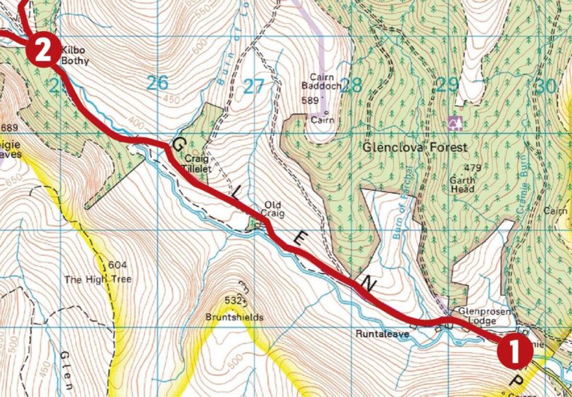
The track made for fast progress and I was soon at Kilbo.
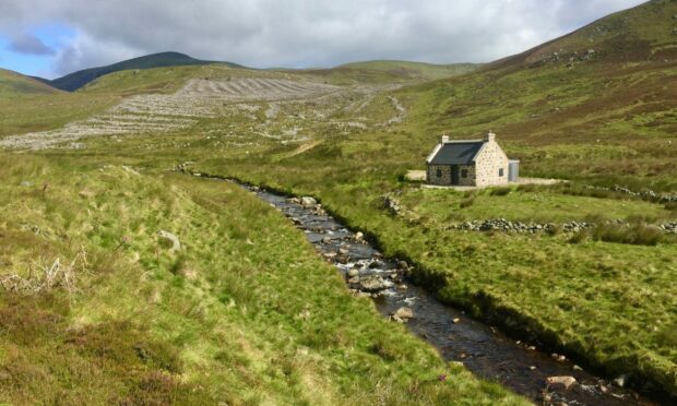
The old deer-watcher’s cottage by the Prosen Water has been given a new lease of life as a private bothy after years of neglect saw it being allowed to slip into a ruinous state.
The route now heads north by the Kilbo Path but the line of this historic way has also been muddied recently with the felling of the sitka plantation which used to provide a gloomy – and very boggy – corridor on to the hill. Even the signpost seemed to have disappeared.
A new track a little further up provides a less troublesome lift up over Cairn Dye and to the Shank of Drumwhallo, the broad shoulder that leads up to the col between the Munros.
So far, I hadn’t seen another soul but as I approached the highest point I could already hear voices coming from both directions along the Munro highway.
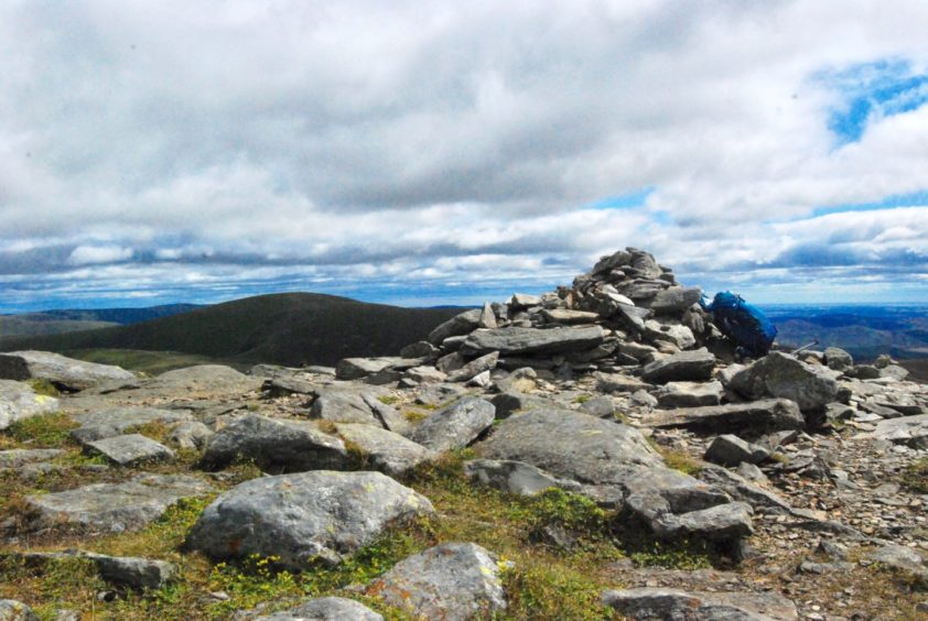
A short climb to the west and I was at the summit cairn where I had lunch and watched the comings and goings.
It was hardly Princes Street, but it seemed strange to be among company again after a few hours of silence and solitude.
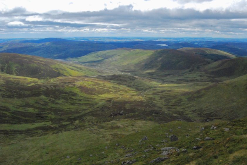
The next task was to outflank the deep cut of the Mayar Burn on the way round to South Craig, a grand perch for an unfamiliar sight of the twins, Mayar in particular looking steeper and more impressive from this angle.
The view was improved even further by the sudden appearance of a kestrel, zipping across the crag beneath me.
I followed the soft track to the wonderfully named Bawhelps, a top sitting above the crags of the White Glen.
The track forks here, the right-hand branch going out to Mid Hill where there is an expansive line of sight into Glen Isla and over to the Glas Maol hills, while the left continues on to Broom Hill, whose cairn lies slightly offline to the left.
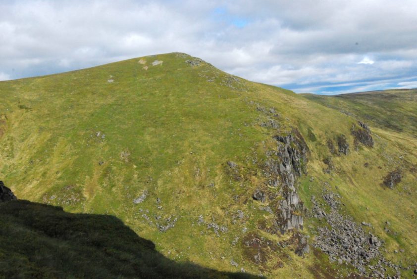
It is possible to vary the return by continuing on to Craigie Thieves and then south-east sticking to a higher line, eventually dropping down to the road at Cormuir but that just seemed greedy.
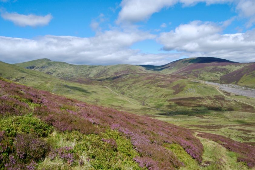
Instead, I made the short, sharp descent to the hill path running through the deep gap known as Glack of Balqhuader and was rewarded with more fine views of the two Munros across an ocean of brilliant purple heather.
The path dropped steeply at first then eased to a gentler grassy passage curving round to Kilbo. The march back out on the track was again a quiet affair although there was a tinge of disappointment that there was no sign of an encore from the red kite.
ROUTE
1. Walk west from parking area past Glenprosen Lodge, follow track around houses then up glen for 5km, passing first Runtaleave then Old Craig on right, to reach renovated Kilbo bothy.
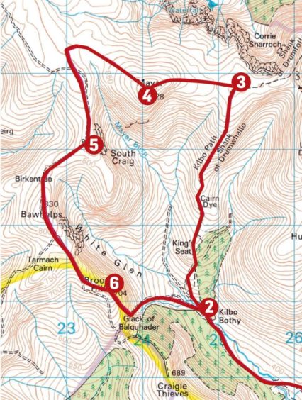
2. Cross Prosen Water by wooden bridge then take line of Kilbo Path north (new track at first beyond section of felled trees) over Cairn Dye and follow Shank of Drumwhallo to its highest point at col between Driesh and Mayar.
3. Turn left and follow obvious hill path running west to summit of Mayar.
4. Leave summit going north-west for short distance to round head of Mayar Burn then turn south on track leading to South Craig.
5. Keep following track in a southerly direction, along ridge line first to top of Bawhelps, then on to Broom Hill (summit just off track to right).
6. Either return to track or more directly drop steep but easy slopes south-east to pick up path running down Glack of Balquhader and follow it as it curves back round to Kilbo, then follow track back to parking.
INFORMATION
Distance: 18.5km/11.5miles
Ascent: 750m/2460ft
Time: 6-8 hours
Grading: Estate tracks and hill paths, some pathless terrain. Strenuous, sustained ascent to exposed high ground, suitable for experienced, well-equipped walkers with relevant hill and navigation skills. Dogs under close control – farm livestock and ground nesting birds.
Start/finish: Small parking area on grass near road end before bridge and Glenprosen Lodge (Grid ref: NO 296678). Glen Prosen signposted from Dykehead on B955.
Map: Ordnance Survey 1:50,000 Landranger Map 44 (Ballater & Glen Clova); Ordnance Survey 1:25,000 Explorer sheet OL 53.
Tourist Information: VisitScotland, Dundee iCentre, 16 City Square, Dundee, DD1 3BG (Tel 01382 527527).
Public transport: No public transport to Glenprosen, nearest bus service to Kirriemuir.
