Creag nan Gabhar, Glenshee, Perth & Kinross
Creag nan Gabhar is a modest hill in the lower Cairngorms but on a day when the higher tops are shrouded in cloud, it provides a satisfying alternative, a short circuit with fine views.
Lying between Glen Clunie and Glen Callater, its broad, elongated ridge gives a steady ascent from the parking area at Auchallater, just three kilometres south of Braemar.
The name means crag of the goats: some old maps mention Rocks of Craig-na-goir, a reference to the rocky nose on the hill’s north-west corner where goats could often be seen, and the name was later applied to the whole hill.
It looks more bolder and more imposing on approach from the A93, rough patchwork slopes of heather and boulder sweeping straight up from the road. My last visit had been from this direction, a short, sharp push in zero visibility.
The starting point may have been different this time, but early signs were that a repeat of the atmospheric conditions could be similar. The cloud was feathery but there was enough of it swirling around to block out any clear line of sight down the glen.
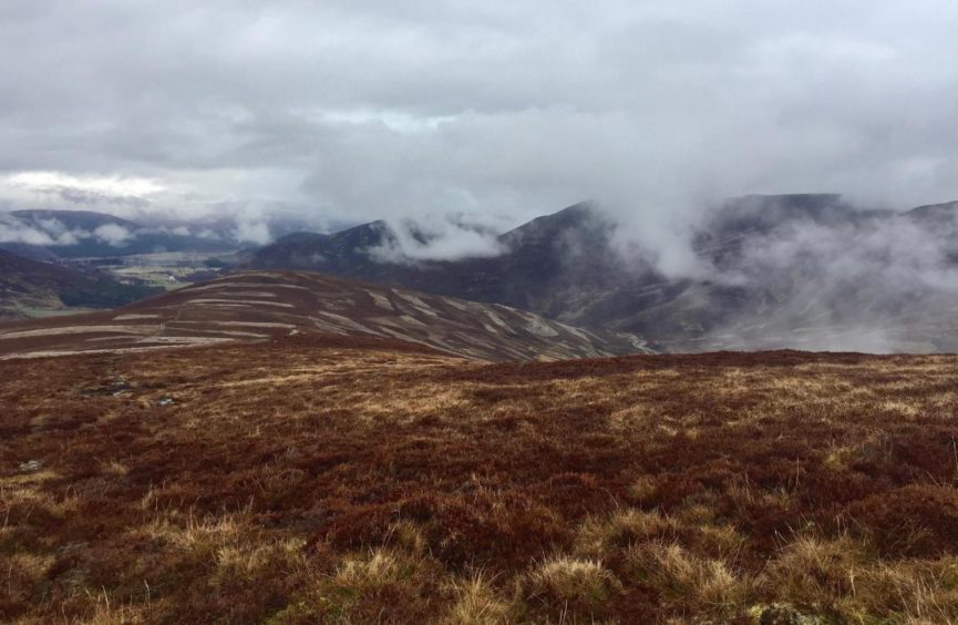
But as I left the main drag and climbed the zigzags to the ridge, the cloud started to rise with me. And the higher I rose the more the world around me started to show itself.
Through the lightweight grey curtains I could see all the way back to Braemar from Sron Dubh – the black nose – while ahead, the polished steel waters of Loch Callater were glistening in the ambient light.
Having just left one nose, I soon reached the next, the cairned top of Sron nan Gabhar, a mere bump on the way to the main summit but one that offers a lovely view up Glen Shee, the scene being framed by the mist rising like smoke.
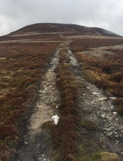
The route onward was clear, a slight twist to the right on the final approach leading to the bouldery summit area which is adorned by a plethora of cairns offering plenty of seating options for a refreshments break.
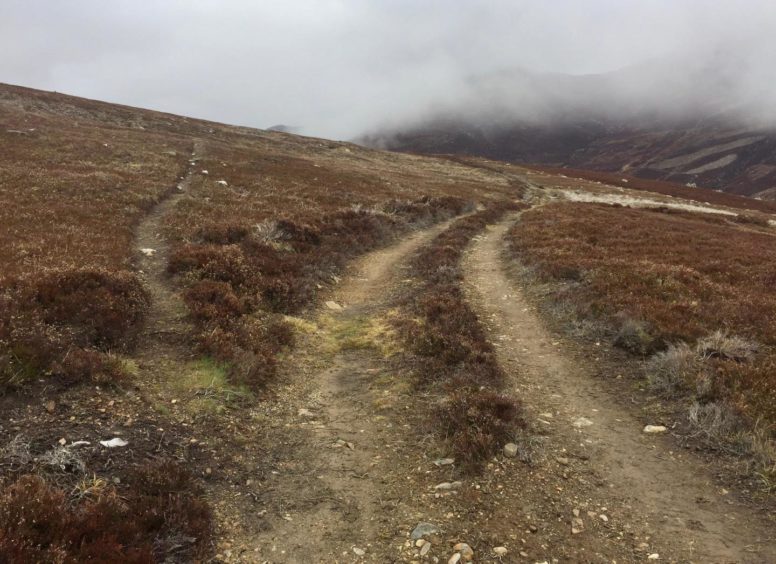
The way down to Loch Callater is obvious in clear conditions, but the ground on this side of the hill is featureless and could be confusing in thick conditions. The best bet is to retrace your steps a short distance to the east, then take a direct line south-east until coming across a track running across the hillside.
I left the track when it started to swing north – following it will lead you to an unbridged river crossing and almost certain wet feet or worse – taking a path on the right, faint at times, on a meandering line towards the bridge to Lochcallater Lodge.
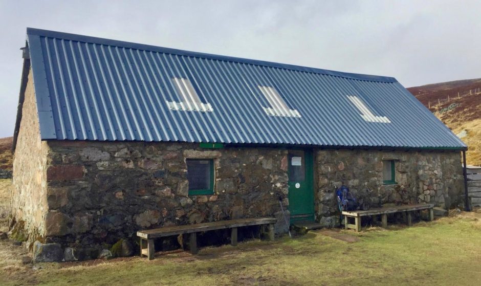
There are three buildings in this lonely spot, one of which is Callater Stables, an open shelter owned by the Invercauld Estate and maintained by the Mountain Bothies Association. It is also used as a training base by mountain rescue teams, and it’s solitude reputedly made it an occasional haunt of Prince Charles during his stays at Balmoral.
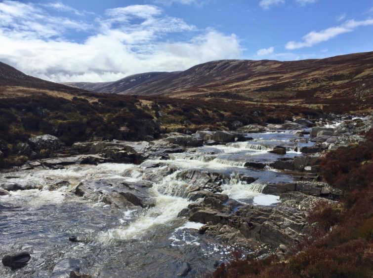
Loch Callater may be less than a mile long but it dominates the landscape, its waters wedged between deep slopes stretching to the horizon where the historic right of way, Jock’s Road, continues over the high plateau into Glen Doll.
A prominent stone above the loch marks the site of Peter’s Well, in commemoration of a local priest known as Patrick or Peter the Priest, whose prayers were said to have restored the water supply to the local populace during a particularly hard winter freeze.
Clerical references are everywhere: the Munro, Carn an t-Sagairt Mor (the big hill of the priest), lies off to the east of the loch, while on the track out you pass Creag Phadruig (Patrick’s crag) with Loch Phadruig tucked in behind. It’s no surprise that Glen Callater was once known as the miracle glen.
The sun made an appearance for the track out – a minor miracle in itself considering the grey forecast.
ROUTE
1. Take track from car park, E at first then turning S into Glen Callater, and after about 1.5km turn right on track heading uphill.
2. Follow the zigzags to broad ridge – at one point there is a path on left which takes a shortcut rejoining track further ahead – and follow to cairned summit Sron nan Gabhar.
3. Keep heading S, dropping a little before final rise which bends right to Creag nan Gabhar.
4. From summit cairn, retrace your steps E for short distance then descend SE to pick up track coming in from W.
5. When track starts to swing N, leave it for path heading NE towards Lochcallater Lodge. This path can be faint at times – it crosses small bridge then more substantial one over Callater Burn to reach lodge.
6. Follow main track N by Callater Burn back to start.
INFORMATION
Distance: 14km/8.75miles
Ascent: 490m/1605ft
Time: 4-5 hours
Grading: Moderate hill walk using estate tracks and hill paths, some pathless terrain. Steady ascent along exposed high ridge, suitable for well-equipped walkers with decent level of fitness. Dogs under close control – ground nesting birds. Check car park infromation board for stalking activity during Sep/Oct.
Start/finish: Parking area at Auchallater (Grid ref: NO 155881) off A939, 3km south of Braemar (parking charge).
Map: Ordnance Survey 1:50,000 Landranger Map 43 (Braemar & Blair Atholl); Ordnance Survey 1:25,000 Explorer sheet 52.
Tourist Information: VisitScotland, Ballater iCentre, Station Square, Ballater, AB35 5QB (Tel 01339 755306).
Public transport: No public transport from south, bus service to Braemar from Aberdeen (201).
