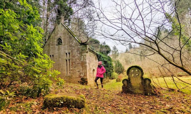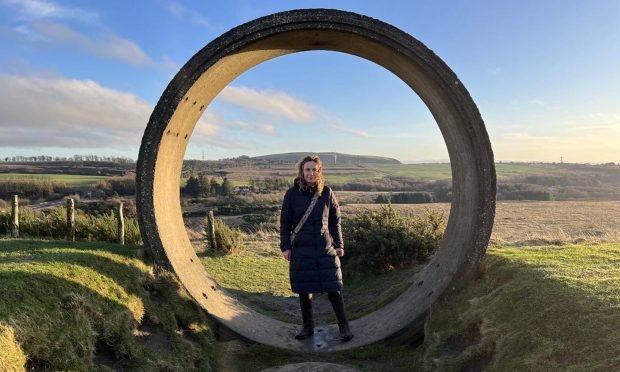
Craigower, Pitlochry, Perth & Kinross
It’s that time of year again, when the festive indulgences have passed and thoughts turn to starting a fitness regime or reigniting that love affair with the great outdoors.
Whichever camp you fall into, the craggy and wooded little hill of Craigower which rises above Pitlochry will fit the bill.
This is a walk for all the family, a short outing that won’t tax the legs too much, just enough of a work-out to blow away the hangover and re-acquaint the body with some much-needed physical exertion and fresh air.
There’s a car park with just enough room for four vehicles at the farm buildings at Balnacraig, reached by the rough farm road along from Moulin and signed for Craigower car park from Pitlochry. The walk can also be started from either Moulin or Pitlochry without too much extra effort.

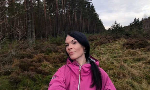
We managed to squeeze it in amidst two weather systems: the calm between the storms had resulted in a flawless peace, icy mists drifting lazily through the tree cover, steaming up from the glistening perfect greens of the deserted golf course.
The route is marked all the way round by a variety of signage that should keep you right, starting from the direction posts pointing the way across the course to a wooden gate which gives access to the woods.
The walk alongside the stone wall was a typical winter contrast of light and shade, the sun blinding over the fairways to one side while our footsteps followed the shadows over slippery tree roots and the occasional crunch and tinkle of ice.

The initial ascent led us out of the trees for a brief encounter with a rough track until another well-signed quick turn to the right began the push in earnest. Every so often, gaps in the cover would offer fine views to the south.
There are two good viewpoints at the top; a short diversion to the left goes to a seat overlooking Pitlochry, while to the right is an viewpoint indicator and some information panels.
Despite the clarity of the air, we were disappointed on this occasion to find the long-distance view down Loch Tummel and, beyond that, Loch Rannoch and Glen Coe, somewhat blurred. Snow-streaked Schiehallion also seemed to be missing its top.

Craigower has been in the care of the National Trust for Scotland since 1947, and the pine-clad slopes are an important habitat for birds as well as butterflies. Fourteen varieties have been recorded including the Scotch Argus, which can sometimes be spotted in great clouds during the summer months.
Just before the summit, you will pass an information board with details of a recently established hibernaculam, an underground series of tunnels and chambers which provide winter refuge for reptiles such as adders, slow worms and lizards. This is also intended to offer space for the reptiles to be able to bask in the summer sun.
We started our descent by dropping into the trees and then following the path round to reach a stony forestry track. This is the Dunmore Trail, named in memory of John Alexander, the 9th Earl of Dumore who was killed in France during World War II.

It may be that you prefer to retrace your steps from the summit to spend longer in the woodland. There are also options for further exploration via little diversions on promising paths.
We passed a communications mast and then meandered downhill on long sweeps. Every so often sections of felled trees offered grand vistas over the head of Pitlochry to the hills above the woods of Fonab and Clunie.
Eventually the track reached the entrance to the woodland path that had led us up from the golf course only an hour or so earlier. The final stages of the walk were a mirror image of the outward route, the low sun keeping the peaceful balance of light and shade in situ.

ROUTE
1. Head west from parking on track following signs past buildings to golf course which is crossed to reach gate in stone wall.
2. Go through and turn left on path which runs by wall along side of course. Path starts winding to right and climbs into woods to reach track.
3. Turn left on track then immediately right onto signed path and climb through trees.
4. Higher up, path bends left and heads up wooden steps then round to path junction: head right to summit area with viewpoint and information panels.
5. Descend by path, west at first then curving to right, and head up set of steps to meet forest track.
6. Turn right, passing communications mast, and follow track as it winds downhill to eventually reach junction with first woodland path.
7. Turn left and retrace path back along edge of woods and across golf course to start.

INFORMATION
Distance: 4.5km/3miles
Ascent: 240m/790ft
Time: 1.5-2.5 hours
Grading: Easy, short walk on woodland paths and tracks suitable for all ages and abilities. Can be muddy in places, some exposed tree roots. Take care crossing golf course, dogs under close control.
Start/finish: Small car park at Balnacraig (Grid ref: NN 936953). Walk can also be started from Moulin and Pitlochry.
Map: Ordnance Survey 1:50,000 Landranger 52 (Pitlochry & Crieff); 1:25,000 Explorer sheet OL49.
Tourist Information: VisitScotland, Pitlochry iCentre, 22 Atholl Road, Pitlochry, PH16 5BX (Tel 01796 472215).
Public transport: Regular buses and trains to Pitlochry.