In 1963 and 1965 Dr Richard Beeching issued two reports that identified 5,000 miles of railway lines for closure. These cuts to branch lines reduced Britain’s rail network by a third and bequeathed the UK the potential of a ready-made rural cycling and walking network.
Unfortunately the transport policy in the 1960s was incredibly shortsighted and focused predominantly on the car. The land that the closed lines ran on was sold off and an opportunity was missed to build an infrastructure of motor-traffic free routes.
Many of these routes still exist in part, but with much of the land given over to farming or development there are very few complete sections left. However, all is not lost. Where the embankments, bridges, viaducts, cuttings and tunnels still exist there is the potential to cycle and walk on them, albeit in some cases through overgrown and rough sections.
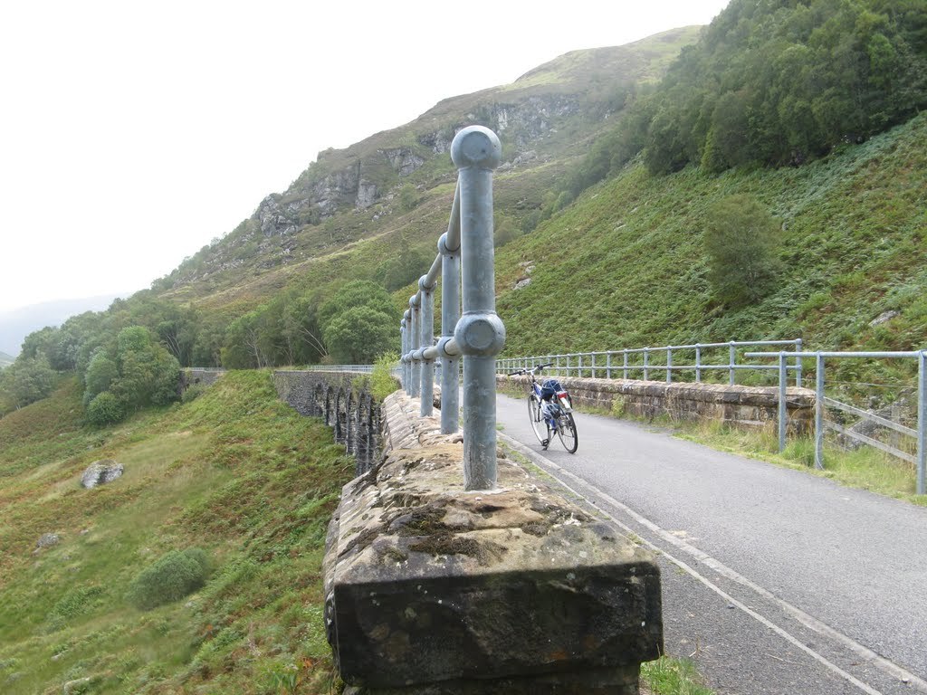
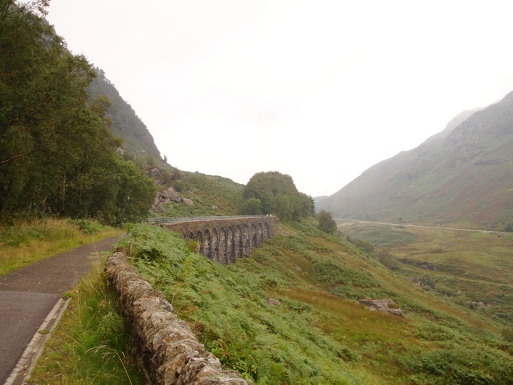
In some cases these disused railway lines have been converted to off-road cycle and walking paths – the Glen Ogle section of the Sustrans route 7 cycle path that links Callander and Killin is a good example, but there is a massive opportunity for Scotland to lead the way in developing a country-wide network of paths that would be a huge draw to visitors and locals alike providing off-road walking and cycling routes that would be a boost to local economies.
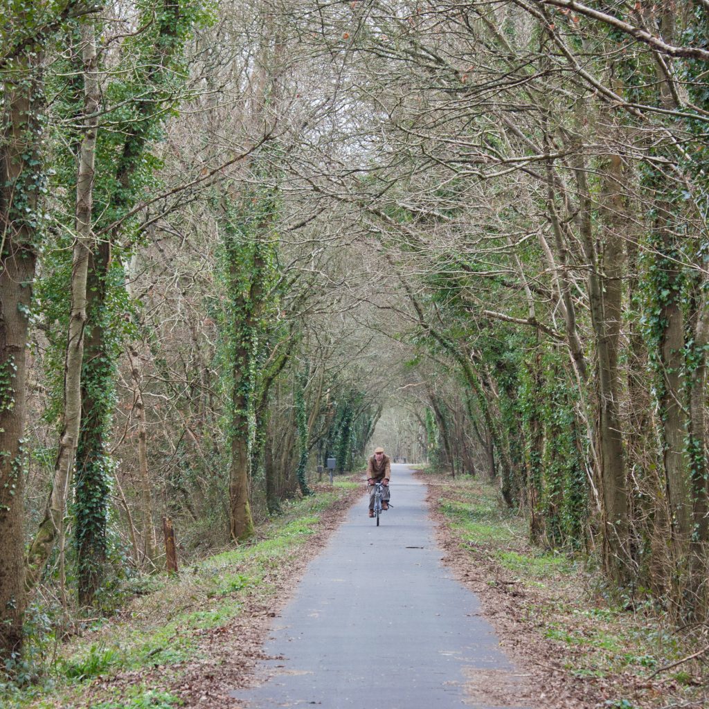
It sounds simple, but the task is fraught with legal, political and technical challenges. However, it is not insurmountable. Devon has shown the way with the Tarka Trail that each year an estimated million people use and half a million use the Exe estuary trail.
Along the routes of these trails businesses such as pubs and cafes have had a boost and new businesses have opened. Such successes have convinced council chiefs to back more projects and landowners and local residents who were initially reluctant are now being won over.
For such a project to work on a national level it requires more than just volunteers to start campaigns with local authorities, it needs a strategic approach by government with the appropriate funding.
The Scottish Government has a “Cycling Action Plan for Scotland” (CAPS) that boldly states in its opening introduction that “Our vision is that by 2020, 10% of all journeys taken in Scotland will be by bike.”
It goes on to say that “Designing our communities to make walking and cycling safe and easy, leads to increased visibility of cyclists and pedestrians and helps create attractive places to live.” Published in 2010 the CAPS document is packed with great intentions, but is less concrete on how these will actually become a reality.
e funding available is slight, compared to road projects, but that is only part of the problem. What is needed is a real drive of commitment and determination from the highest level.
I for one can’t think of a better place to start than by re-developing our network of disused railway lines. The infrastructure is effectively there and it has been shown to work in other parts of the UK. All that is needed is a commitment to honour the vision set out by CAPS.
| Where to ride: | Grandtully |
| Terrain: | Off road disused railway line suitable for all ages |
| Description: | Start:OS Landranger 1:50000 Map 52
Distance: 4.5 miles one way Description: Starting in the car park behind Grandtully Primary school this track heads south-west towards Aberfeldy running parallel to the River Tay. The first part is on the disused railway line which then gives way to a path half way along. There are many spots along the way that are great to stop for a picnic or just enjoy the view across the river. |
