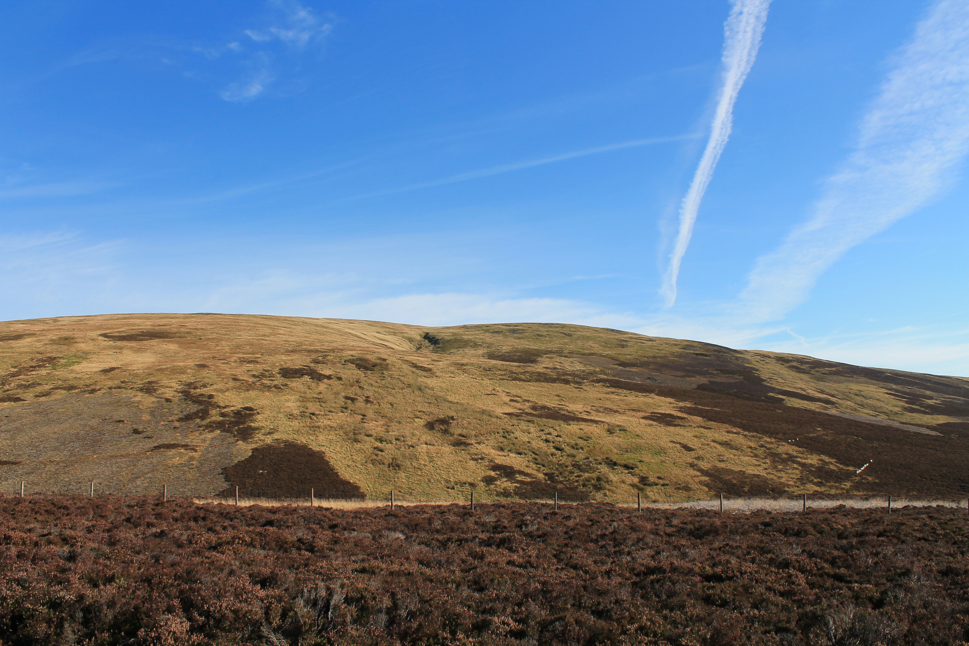
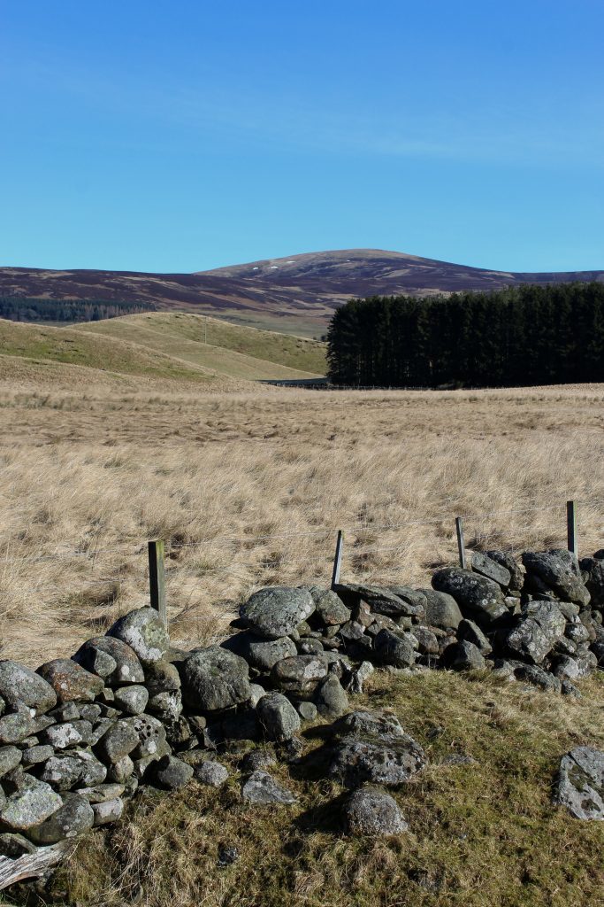
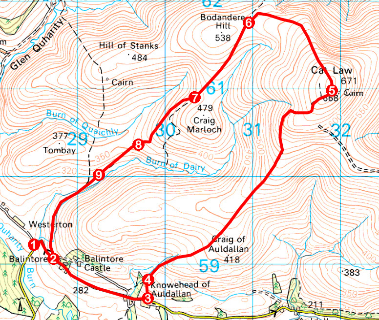
Standing above the juncture where Glen Prosen emerges from the hills to meet the flat agricultural plains of Strathmore, the gently rounded slopes of Cat Law rise to a fine viewpoint, proffering vistas over both Highlands and Lowlands.
The summit was, in the past, crowned with a mighty cairn, like that which stands on St Arnold’s Seat, across the valley to the east and, while it has been largely dismantled, its exact purpose remains a mystery.
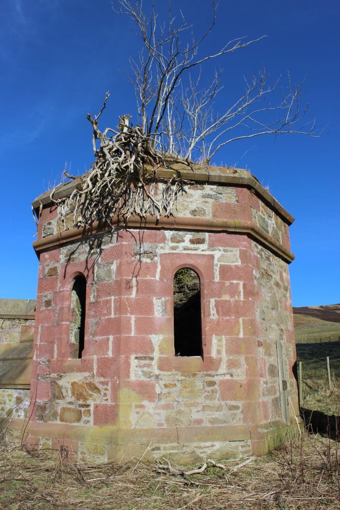
Of the various approaches on offer, I began my ascent in Glen Quharity, in the shadow of dark and brooding Balintore Castle, a Scots Baronial style mansion built in the 1860s and in the process of being restored.
The minor road through the glen led me east, below the heavily turreted edifice, and on past the derelict gate lodges and a band of woodland to the farm at Knowehead of Auldallan where I left the asphalt and began my climb.
Beyond a gate at the top of grassy pasture, heather moor beckoned, the track rising steadily over the Cat’s south-west shoulder where sheep grazed the rough, wiry ground.
The way soon forks but either road is fine for the two arms converge into one further up the slope, the gradient easing a little as I passed through the line of a fence and skirted by wooden grouse butts.
With views opening out over Strathmore, behind me to the south, and the occasional grouse erupting noisily from the heather, the track ahead upped its game, climbing more steeply, easing just briefly before making a final push for the top.
Running close by a fence on the right, the moorland road peters out by the site of the summit cairn, a wee stile spanning the wire.
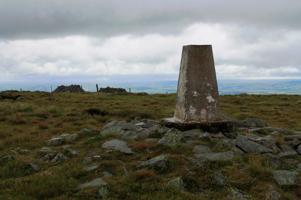
This cairn may well have rivalled the one on St Arnold’s Seat but, over time, it has been robbed of its stone, most notably to fashion roughly circular shooting butts which now offer walkers a welcome break from the prevailing wind.
Hunkering down in my stone shelter, enjoying an extensive outlook across the landscape, I pondered the purpose of the cairn.
As it sat at the meeting point of the three Angus parishes of Lintrathen, Kingoldrum and Cortachy & Clova, the most likely reason for its construction was as a boundary marker. Indeed, various smaller, carved boundary stones can be found in the vicinity, most notably to the east on Long Goat, an outlier of Cat Law.
Hopping back over the fence, I wandered up to the weathered trig point, paused briefly to give thanks for good weather, and then embarked upon my descent, keeping the fence (a useful navigational aid in poor visibility) to my right as I headed down the heathery north-west shoulder.
An estate track cuts through the col between Cat Law and neighbouring Bodandere Hill and, joining this at a wooden gate, I turned south, a rough, grassy but nevertheless well-defined way leading over the hillside.
Below Craig Marloch, the route becomes less distinct but, aiming for the wooded valley of the stream below, I soon picked up the scent of the trail again, joining a better track at a junction beyond a gate.
Dipping to step carefully across the icy cold waters of Burn of Dairy, I rounded the shoulder above, re-joining the road a whisker to the west of Balintore Castle.
ROUTE
1. Cross Burn of Dairy and ascend road to Balintore.
2. Walk 1.4km east on road to Knowehead of Auldallan.
3. Go left through metal gate and bear left up and over field to gate.
4. Go through gate and ascend track to summit of Cat Law.
5. Following fenceline, descend north-west shoulder, keeping fence to right. Approaching track, bear left to wooden gate.
6. Join track, turn left and descend south-west, the rough grassy track running parallel to fence.
7. Where track forks, bear right.
8. Where track becomes less distinct, bear left, descending to pick up better defined track line and follow it down to metal gate.
9. Go through gate and continue ahead on good track. Dip to cross Burn of Dairy and remain on track to Balintore. Pass through gate and bear right to meet road.
INFORMATION
Distance: 10km/6¼ miles
Ascent: 430m/1420ft
Time: 3-4 hours
Grading: A moderately challenging upland hike with good tracks and paths for much of the way. Some sections require careful navigation over less distinct tracks. Keep dogs under close control due to livestock and ground nesting birds
Start/finish: Junction of minor road and track leading to Westerton and Longdrum, Balintore, Glen Quharity (Grid ref: NO 285592). Roadside parking.
Map: Ordnance Survey 1:50,000 Landranger sheets 44 and 53; Ordnance Survey 1:25,000 Explorer sheets 381 and 388/OL53
Tourist Information: Gateway to the Glens Museum, 32 High Street, Kirriemuir DD8 4BB (Tel 01575 575479)
Public transport: None
