Funded by local people and their laird, the Killin Branch Railway opened in 1886, a vital link between the village and the Callander to Oban mainline some three miles away.
The company retained its cherished independence until 1923 while trains continued to trundle along the line, absorbed by the London, Midland and Scottish Railway and later British Railways, until 1965 when a rockfall in Glen Ogle hastened its demise.
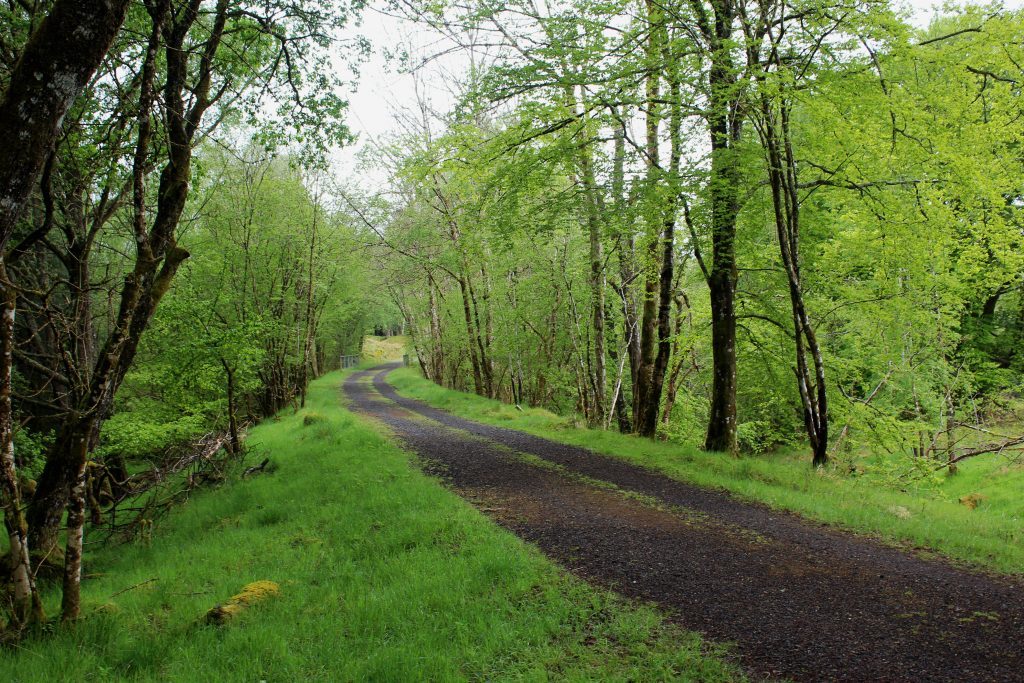
Tracks lifted, the former railway now offers walkers and cyclists the perfect ticket to travel through the forests of Glen Dochart.
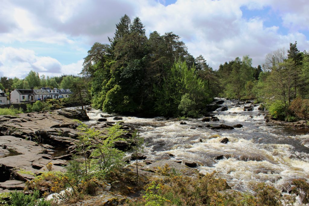
Setting out from the Falls of Dochart – an enduringly popular local attraction – I wandered west along the A827, branching left on to the line beyond a row of traditional cottages overlooking the tumbling cascade of white water.
From here, a well graded track rises gently away from the village, passing under a bridge and, a little further on, skirting behind Acharn Farm and the site of a new biomass plant that will generate energy from timber growing on the hillside above. Along the way, lurking below silver birch, piles of moss-encrusted concrete sleepers are a reminder that trains once ran here.
Crossing a track and then the Allt Lairig Cheile, the trail narrows beyond an information board and here I spotted a pair of roe deer darting across the grassy path ahead of me as I hiked on towards the A85 at Lix Toll.
Cutting through the course of the old railway, beyond a barrier gate, the road must be carefully crossed before the line is re-joined, the incline continuing through forestry to the point where the branch met the Callander to Oban railway.
Beyond an old sheep creep up to the left, the two converge and, a little further on, the grass-topped remains of a platform confirm the location of the interchange, Killin Junction Station. Below, former station cottages are in the process of being renovated.
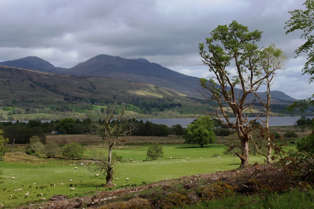
It is worth wandering along to the far end of the platform for a view of the mountains of Ben More and neighbouring Stob Binnein before returning through the station and branching right, up the mainline.
Again, the track climbs at a steady gradient, a couple of lineside huts signalling the imminent arrival of Glenogle Cottages, site of the pre-branch line Killin Station.
After making a short detour south to sit for a while and eat a bite of lunch by the tranquil waters of Lochan Lairig Cheile, I crossed the A85, hiked up through a car park with snack van and headed back into the forest, passing a memorial to the two-man crew of an RAF Tornado that crashed here in 1994.
The track beyond climbs steeply before undulating through the plantation, occasional gaps in the conifers offering glimpses of the Tarmachan Ridge to the north.
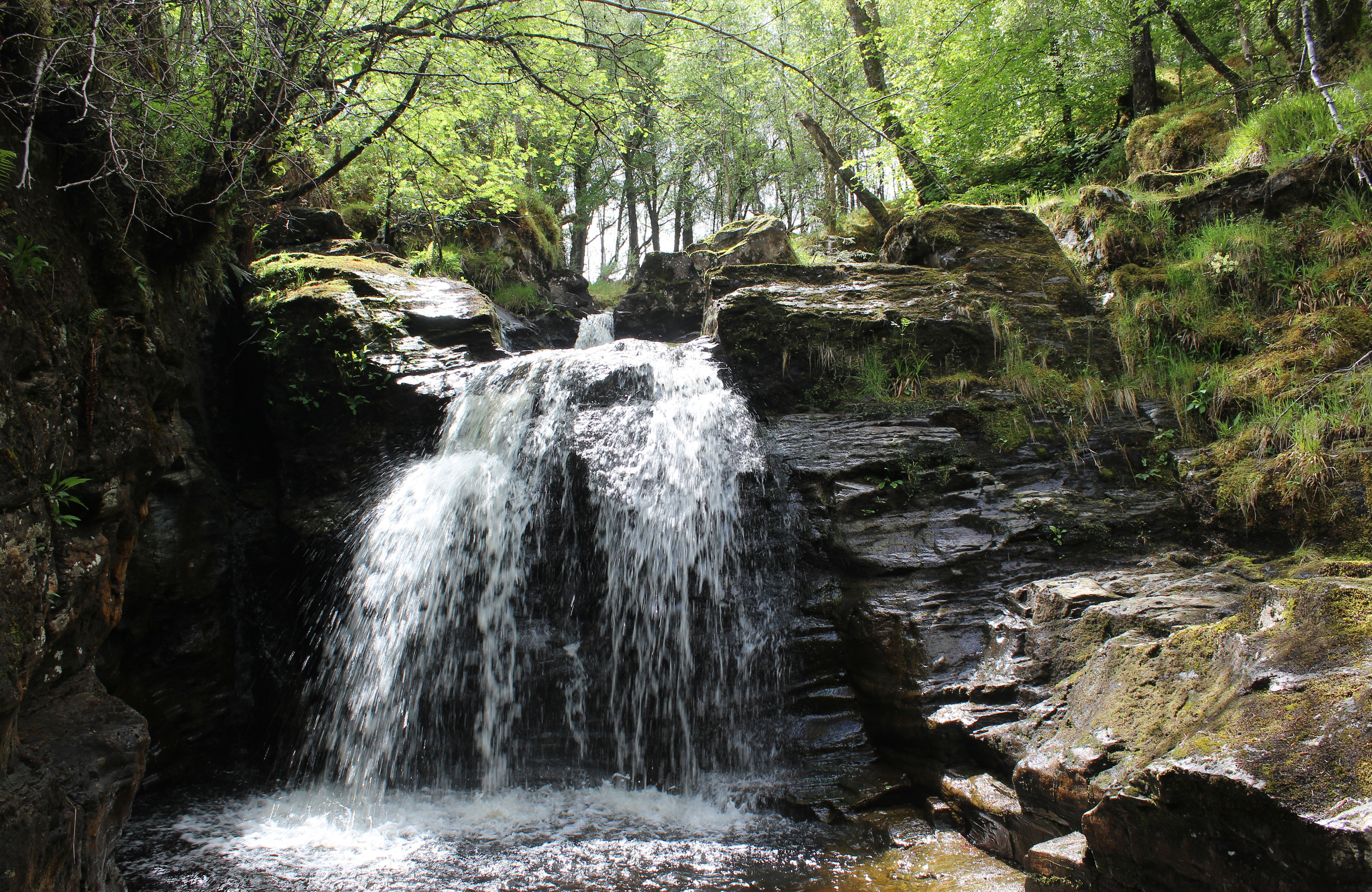
Approaching Achmore Burn, the descent begins, first down track then, where it curved off to the left, path. Emerging from the trees at a broken gate, the way weaves across felled ground where I ventured into woodland on the right to find a delightful set of waterfalls and pools.
Churned up by logging vehicles, the way improves as the path forks right, converging with the stream to pass through a tunnel below a road before emerging lower down on to a track that leads back to Killin.
ROUTE
1. Ascend A827 towards war memorial on western edge of village.
2. Turn left on track passing below house and ascend through gate to junction. Turn right (signed Cycle Route 7), pass below bridge and follow track south-west along course of former railway line.
3. Beyond barrier gate, dip to cross A85 and continue south-west on track.
4. Turn left and ascend track to Glenogle Cottages.
5. Approaching first cottage, branch left on slim path to A85. Cross road, bearing right, then go left up to car park. Pass below height restriction bar and follow surfaced track past memorial and through gate then branch right up forest track.
6. Turn left and descend track.
7. Fork right off track and descend path.
8. Branch right on woodland path, pass below road and descend to meet track.
9. Turn left and follow track west to road then go right on road.
INFORMATION
Distance: 16km/10 miles
Ascent: 340m/1120ft
Time: 4-5 hours
Grading: Moderate route following good tracks and paths, predominantly through woodland, with well graded ascent and some steeper descent
Start/finish: Bridge on A827 over Falls of Dochart, Killin (Grid ref: NN 571324). Parking available in the village
Map: Ordnance Survey 1:50,000 Landranger sheet 51; Ordnance Survey 1:25,000 Explorer sheets OL46 and OL48
Tourist Information: Callander iCentre, 52-54 Main Street, Callander FK17 8BD (Tel 01877 330342)
Public transport: Kingshouse Travel bus service C60 links Killin with Callander (no Sunday service)
