A relic of the great Caledonian Forest that once covered much of Scotland, the Black Wood of Rannoch is home to some of the country’s longest established pines, trees that are thought to be hundreds of years old.
Exploited as a source of timber for over two centuries, there were plans to completely fell the ancient forest during the First World War. Fortunately, it escaped the axe and today, managed by the Forestry Commission, the wood and its wildlife continue to grow and thrive.
Blanketing hilly slopes to the south of Loch Rannoch, tracks and paths roam through the almost mystical wooded landscape, a place where illicit whisky stills were once concealed, where Jacobites laid low following the rebellion of 1745, and where the last of Scotland’s wolves hunted.
Hoping to spot some less predatory creatures, I set off from the hamlet of Carie along the Allt na Bogair Trail, a waymarked walk that follows the lively Allt na Bogair upstream through the eastern fringes of the Black Wood.
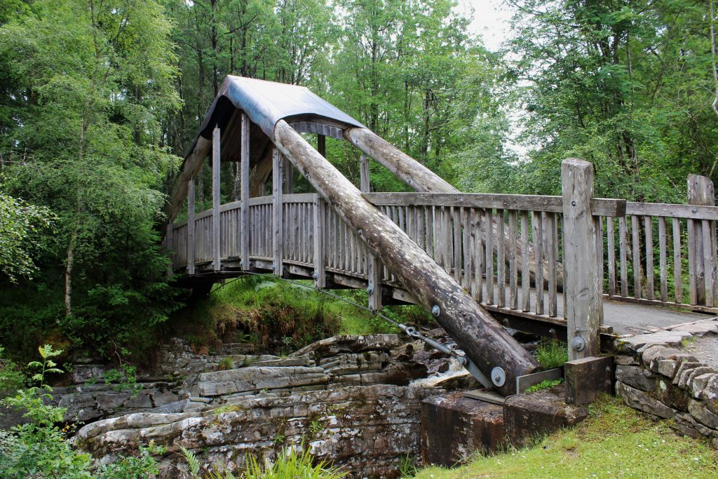
From a Forestry Commission car park, a good path leads into the forest, passing a bridge spanning a rocky cleft in the burn and then a pleasant grassy picnic area, thoughtfully equipped with a shelter for those less settled summer days.
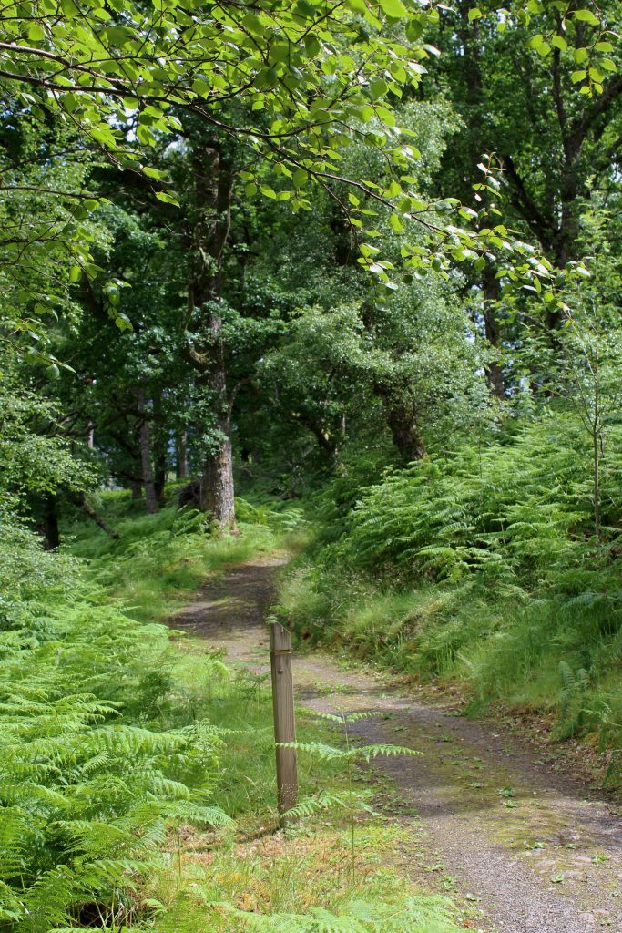
Weaving through evergreens, oak and silver birch, it runs by the stream for a way before branching right, climbing through the trees, the woods here home to red squirrels and roe deer.
While these mammals tend to be rather elusive, the vast colonies of ants that dwell in the forest are more obvious, their ant hill homes dotted at intervals along the way. Unassuming from a distance, up close these mounds of discarded brown pine needles are teeming with insects busily going about their business.
Path and burn soon reconvene although, with height gained, the trail now runs some way above the channel and while the flow of water is audible, it is seldom seen thanks to an umbrella of lush, leafy vegetation.
Through bracken and blaeberry the trail undulates, dipping briefly to the banks of the Allt na Bogair before rising to join a forest road. Branching left here, a signed right of way offers passage through the hills to Glen Lyon. Turn right and the return leg of the walk begins, the track leading south to a small tree-lined lochan.
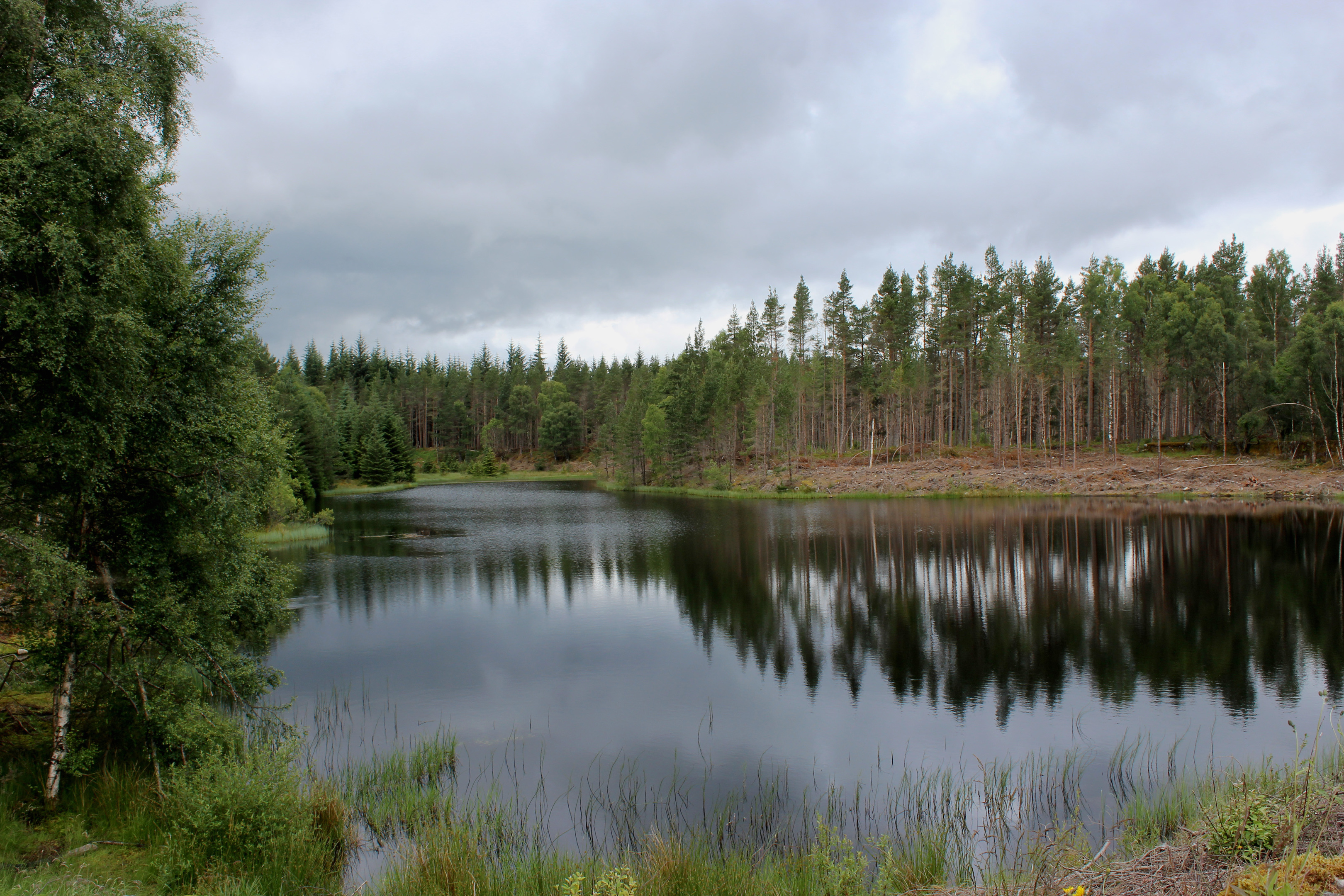
Artificial, this peaceful pool, and a second one hidden behind it, were the source of water for canals dug into the forest to aid wartime timber extraction.
On from the logging reservoir, a strip of path cuts the corner off the looping track which is re-joined lower down, the route bordering the Black Wood and its venerable old Scots Pines, the white skeletal trunks of dead trees contrasting sharply with the gnarled bark and green needles of their surviving relatives.
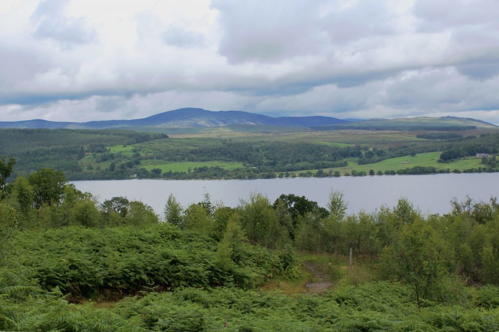
Loch Rannoch soon enters the vista too, the summit of Beinn a’Chuallaich a prominent feature across the water.
A clearer outlook over the loch awaits at a viewpoint near the end of the walk. Leaving the track at a pair of cairns sheltered by an old oak tree, a pleasant wooded path ascends the shoulder above Carie to this final high point, a carved bench the perfect place to sit and reflect upon the tales these historic trees could tell if they could talk.
ROUTE
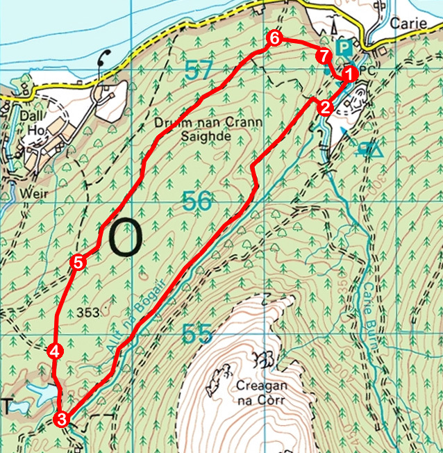
1. Follow path south-west from car park, passing information board and bridge. Don’t cross bridge but continue ahead, across grassy picnic area with shelter, to join path running upstream by Allt na Bogair.
2. Leaving Allt na Bogair, turn right and ascend path by wall to junction. Turn left and follow path south-west up valley.
3. Pass above bridge spanning Allt na Bogair to junction with track. Turn right and follow track north past lochan.
4. Where track swings left, continue ahead on path to meet track.
5. Turn right and follow track north-east.
6. Branch right on path leaving track at a pair of cairns below an oak tree and ascend through woodland to viewpoint with carved wooden bench.
7. Remaining on path, descend to cross track and continue down to picnic area and car park.
INFORMATION
Distance: 8km/5 miles
Ascent: 190m/620ft
Time: 2 hours
Grading: Easy, sheltered, low level route following good tracks and paths through forestry. Stout footwear recommended as some sections can be muddy underfoot
Start/finish: Forestry Commission car park at Carie, 5km west of Kinloch Rannoch on minor road running along south side of Loch Rannoch (Grid ref: NN 616570)
Map: Ordnance Survey 1:50,000 Landranger sheet 42 or 51; Ordnance Survey 1:25,000 Explorer sheet 385
Tourist Information: Pitlochry iCentre, 22 Atholl Road, Pitlochry PH16 9BX (Tel 01796 472215)
Public transport: Nearest bus stop is Kinloch Rannoch (Elizabeth Yule service 82 from Pitlochry)
