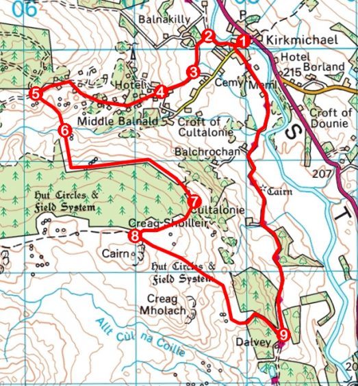
Creag Shoilleir, Kirkmichael, Perth & Kinross
The Pitcarmick Loop is one of a handful of waymarked routes that form the recently established Kirkmichael Path Network.
Climbing from the Perthshire village through a woodland dotted with log cabins, the circuit crosses Glen Derby before rising over the peaty, heather-clad slopes of Creag Shoilleir where views across Strathardle await the walker.
The loop offers a well signed three-and-a-half-mile outing, but I planned to extend it by ascending Creag Shoilleir before dropping into the valley to join the Cateran Trail for the hike home.
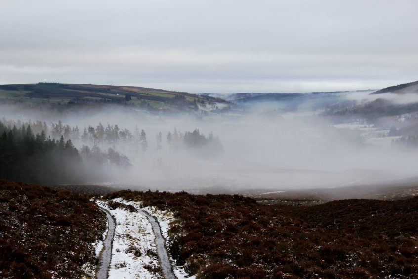
Running through Kirkmichael, the Cateral Trail also played a part in sending me on my way. Joining this well-walked long-distance path above the village school and, stepping out into my first snow of the season, I followed it briefly above the River Ardle before turning on to the driveway of Balnakilly House.
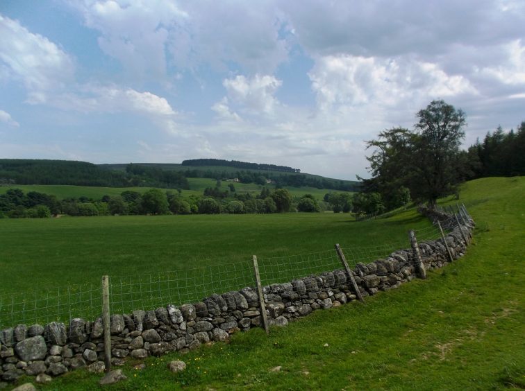
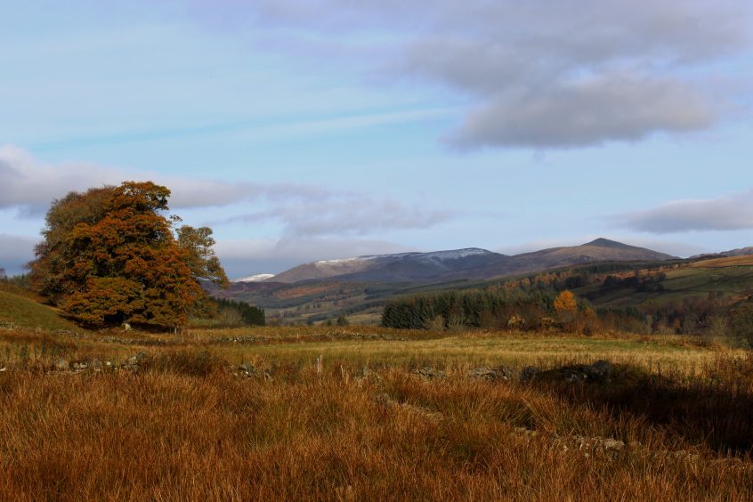
Before the property is reached, a track branches left, crossing between fields to meet a minor road that guided me up to the Log Cabin Hotel. Across reedy pasture to the north, where cows grazed. the distant snow-dusted mountains of the southern Cairngorms caught my eye.
The hotel was closed when I visited so, in the lea of the front porch, I settled for a warming mouthful of coffee from my flask before returning to the track.
The gravel road weaves between timber lodges which, along with the hotel, were built in the late 1960s and early 1970s. A couple of waymarker posts kept me on course and, clearing the cabins at a gate, I skirted the southern edge of Kindrogan Wood to a crossroads.
Walk west from here and the track meanders up the glen, forking right into Kindrogan Wood or left to an isolated and long abandoned farmstead at Mains of Glenderby.
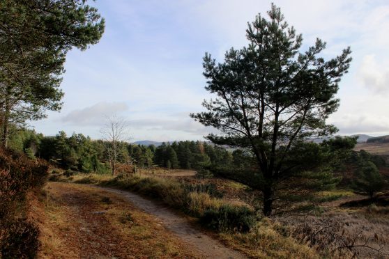
I, however, turned south, a gravel pathway sweeping down between pockets of pine to Balnald Burn. The ground flanking the stream is boggy but a bridge and boardwalks aid the crossing and, as the path rises on to Creag Shoilleir, the terrain becomes firmer.
The trail runs parallel with the boundary of a plantation, first climbing then crossing the slope to the site of four Bronze Age huts where an information board outlines the history of this early settlement.
The hillsides around Strathardle are dotted with evidence of ancient occupation in the form of shielings, hut circles and field systems, remote communities abandoned as the Industrial Revolution took hold, drawing people from the countryside into towns and cities.
The quartet of huts enjoyed a fine vista across the valley which I shared before passing through a high gate to continue my way along the edge of the forest, turning south with the fence-line.
The official Pitcarmick Loop begins its descent from a pedestrian gate in the fence, but I headed uphill at this point, a path ascending through woodland and over moor to meet a track below the prominent cairn crowning Creag Shoilleir.
Avoiding the temptation to make a beeline for the top through rough, ankle-grasping heather, I wandered down the track a way, a branch on the right offering a clear line to the summit.
Back on the moorland track, and after a leisurely descent south, the way cuts down through pine and larch where deer shelter to meet the Cateran Trail which in turn picks up the Pitcarmick Loop on its way back to Kirkmichael.
ROUTE
1. Follow road up past school and turn right on Cateran Trail (signed Spittal of Glenshee), passing row of cottages. Continue ahead along track above river.
2. Turn left through stone gateway and, in 120m, go left by metal gate along track to meet minor road.
3. Ascend road (signed Log Cabin Hotel).
4. Continue straight ahead at junction with Rowan Hill, ascending to Log Cabin Hotel then follow track (signed Kindrogan Forest) up past woodland lodges.
5. Turn left (signed Pitcarmick) and descend track to stream.
6. Cross bridge over weir, progress along boardwalks and ascend waymarked path south before turning east.
7. Turn right at junction by metal gate and ascend path through forest and over moor to meet track.
8. Turn left and follow track south-east, descending to meet Cateran Trail near Dalvey.
9. Turn left and return north to Kirkmichael on Cateran Trail.
INFORMATION
Distance: 10km/6¼ miles
Ascent: 250m/825ft
Time: 3 hours
Grading: Moderate route following well-defined tracks and paths through woodland and over moor with some sustained ascent. Stout, waterproof footwear recommended as some sections can be boggy underfoot. Keep dogs under close control to protect livestock and wildlife
Start/finish: Public car park opposite Kirkmichael Primary School (Grid ref: NO 079600)
Map: Ordnance Survey 1:50,000 Landranger sheet 53; Ordnance Survey 1:25,000 Explorer sheet OL52
Tourist Information: Blairgowrie iCentre, 26 Wellmeadow, Blairgowrie PH10 6AS (Tel 01250 872960)
Public transport: Stagecoach bus service 71 offers a link from Blairgowrie to Kirkmichael (no Sunday service)
