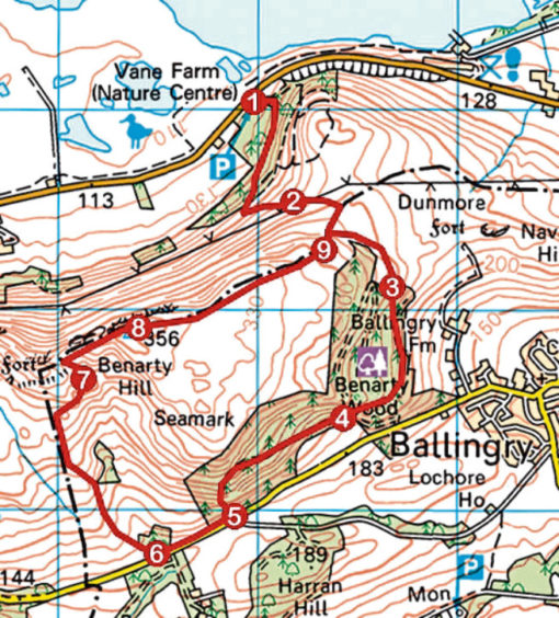
Opened a handful of summers ago, the Sleeping Giant Path was, at the time, described as the missing link between the communities of Fife and Perth & Kinross separated by the recumbent form of Benarty Hill.
Rising over the eastern shoulder of a peak known locally as the sleeping giant due to the ridge’s human-like profile, the path runs from Loch Leven, in the north, to Loch Ore, in the south.
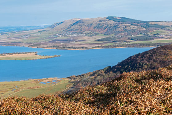
Loch-to-loch it is a seven-kilometre traverse through woodland and across open hillside with some arduous ascent along the way and, offering spectacular views over both bodies of water and the nearby Lomond Hills, has, not surprisingly, proved popular with walkers from its inception.
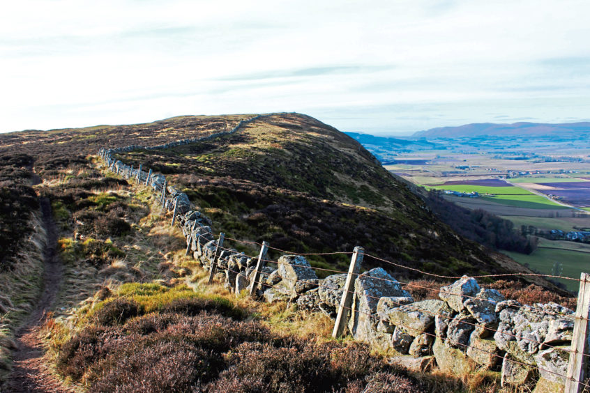
My time on the trail would lead ultimately to the summit of Benarty Hill where an airy walk along the top of a craggy escarpment would bless me with the best of these vistas.
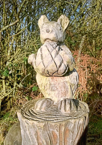
Wandering through the courtyard of the RSPB’s Loch Leven base, where there is a visitor centre and café, I crossed the grassy picnic area beyond to join the path at an information board flanked by carved wooden squirrels.
Soon spotting the genuine article – a red squirrel scampered across the path – I hiked into the trees, the path dipping briefly before embarking upon a steady ascent, the way looping up through woodland, emerging at a viewpoint where I was more than ready to plonk my bottom on one of the cold stone benches and gaze out across the wetlands and islands of Loch Leven.
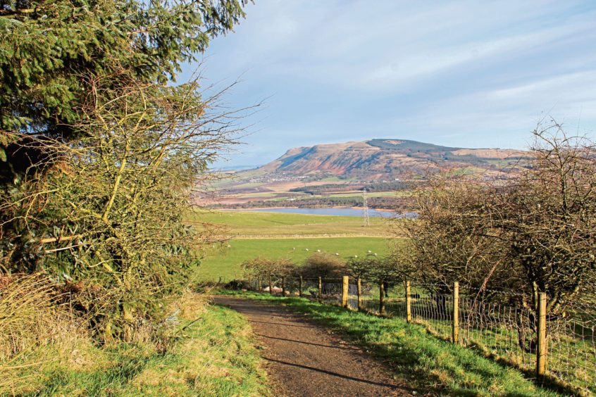
Further up the heathery slope, the path leaves the RSPB reserve at a gate beyond an information board and skirts the edge of fields of pasture to reach its highest point, where, to the east, the volcanic stump of Dunmore – site of a prehistoric hillfort – is an unmistakeable protuberance, beyond which lie the flooded pits of the former Westfield opencast coal mine, closed a decade ago.
Loch Ore soon visible to the south, the trail descends through the Forestry Commission’s Benarty Wood, where much of the timber has been felled, to a junction where the main track swings left to meet a rural lane below.
Following a sign for Lochore Meadows Country Park, I branched right, climbing through the trees to the next junction where a path and then steps drop steeply to meet the same road, a little further to the west.
The Sleeping Giant Path progresses south from here, through the beech trees of Harran Hill, to Loch Ore, an oasis of green space reclaimed from the area’s coal mines, the last of which was abandoned in 1966.
Leaving the path, I hiked west along the road to the gate lodge of Benarty House where my route back on to the hill branched right through a gate, a grassy track rising over grazing land towards the top corner of a small plantation of conifers.
Passing through a broken gate above, the way becomes better defined as it continues its climb through young trees to a second gate, which I had to clamber over to reach open hillside beyond.
Ahead, a wall running along the top of Benarty Hill’s escarpment and a set of parallel tracks guided me up to the summit trig point where I stepped lightly to avoid waking the slumbering giant as I stood atop him and surveyed all that lay around me.
ROUTE
1. Pass through visitor centre and bear right across picnic area to information board then follow signed Sleeping Giant Path up through woodland.
2. Leave RSPB reserve at gate and continue ahead on path.
3. Pass through gate and descend forest track.
4. Bear right at junction (signed Lochore Meadows Country Park) and ascend track to waymarker post. Go left, descending to road.
5. Turn right and walk 450m west along road.
6. Pass house then go right, through metal gate, and ascend track over grassy field to top corner of plantation. Continue up track, passing through high gate and ascending by wall before curving right to junction. Fork left, ascending to high gate.
7. Climb over gate and continue ahead to wall. Turn right and ascend path to summit trig point.
8. Staying with wall, follow path east along top of escarpment.
9. Go through metal gate, turn left and descend to meet Sleeping Giant Path. Turn left to return to Vane Farm.
INFORMATION:
Distance: 8.4km/5¼ miles
Ascent: 470m/1550ft
Time: 3 hours
Grading: Moderate upland route following good paths and tracks with some sections of prolonged and strenuous ascent, suitable for fit hillwalkers. Keep dogs on lead where signs request
Start/finish: RSPB Loch Leven visitor centre and car park at Vane Farm, two miles east of M90 Junction 5 via B9097 (Grid ref: NT 160990)
Map: Ordnance Survey 1:50,000 Landranger sheet 58; Ordnance Survey 1:25,000 Explorer sheet 367
Tourist Information: Perth iCentre, 45 High Street, Perth PH1 5TJ (Tel 01738 450600)
Public transport: None
