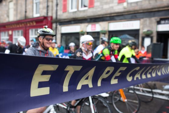
It is hard to believe that it was in 2007 that the cycle sportive, the Etape Caledonia, first debuted under a cloud of controversy. It was, at that time, the first and only closed-road cycle event in the UK and that fact meant that it caused equal amounts of consternation and celebration amongst people living in the route’s vicinity.
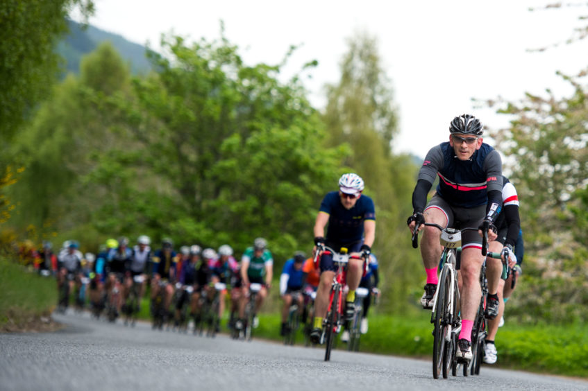
Twelve years on and the event is still attracting thousands of cyclists from around the world. The inaugural event started with two distances, one shorter loop around Loch Tummel and the classic 81 mile route.
That shorter loop was dropped the following year, but in 2019 it will make a welcome return (on a changed route), and, demonstrating its initial popularity, standard entries for that distance have now sold out. The longer route has now also changed and a new climb above Tummel Bridge has been added to the mix.
I have long argued that Highland Perthshire and the surrounding countryside offers some of, if not the best cycling in the UK – both on and off-road. The network and variety of trails and roads are unparalleled and showcase routes that are often virtually traffic free and venturing into wild and stunning scenery.
Living in Courier Country we are extremely lucky to have this on our doorstep and the ability to be in the centre of town one minute, then in rugged mountain scenery shortly after is a privilege I never take for granted.
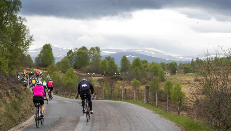
The route of the Etape Caledonia takes in some of this amazing countryside, heading around Loch Tummel and Loch Rannoch and through Strathtay, but perhaps the most iconic section is the climb of Schiehallion.
This mountain is one of the most recognisable peaks in Scotland with its conical summit rising up above Loch Tummel and Rannoch. For road cyclists, it offers the challenge of three potential routes to the top with starting points in Tummel Bridge, Kinloch Rannoch and Coshieville. Perhaps you could even combine all three ascents for a Mount Ventoux style Club Cinglés challenge.
The Braes of Foss
This is probably the most popular route on Schiehallion as it is the route used on the longer distance of the Etape Caledonia itself.The climb starts at Lassintullich Farm, winds up past the Braes of Foss and the highest point is at the hikers’ car park.
The steepest section is on the lower reaches of the climb as the road “hairpins” back on itself just past Crossmount Farm. This route also offers the best views of the summit of Schiehallion, visible as you break out from the trees at Lochan an Daim.
Distance: 4.16 miles
Start: OS 1:50,000 Map 42 – NN700578 at 678ft
Finish: OS 1:50,000 Map 42 – NN754558 at 1230ft
Height Gain: 552ft at an average of 5.4% for the first section and 2.9% for the second section
Nearest town: Kinloch Rannoch: OS 1:50,000 Map 42 – NN 684585
Tummel Bridge
This is a less well-known route on Schiehallion, but is a favourite of mine. The road here is wider and the surface smoother than on the other ascents and it is also the longest of the three. Start at Tummel Bridge and cross the river at the power station before heading up to Loch Kinardochy.
Distance: 4.32 miles
Start: OS 1:50,000 Map 42 – NN762592 at 521ft
Finish: OS 1:50,000 Map 42 – NN778545 at 1296ft
Height Gain: 775ft at an average of 5%
Nearest town: Tummel Bridge: OS 1:50,000 Map 42 – NN 763593
Glen Goulandie
Many riders don’t get the chance to appreciate the open views and beauty of Glen Goulandie as they hurtle down this side of Schiehallion on the Etape Caledonia; but this is a great way to ascend the mountain by heading up from Coshieville.
Distance: 3.74 miles
Start: OS 1:50,000 Map 42 – NN777491 at 363ft
Finish: OS 1:50,000 Map 42 – NN775542 at 1211ft
Height Gain: 848ft at an average of 4.2%
Nearest town: Aberfeldy: OS 1:50,000 Map 42 – NN 854490
The Ride: The Etape Caledonia
When: Sunday May 19
Distance: 40 miles – (standard entries sold out – charity entries still available)
85 Miles – all entries still available


