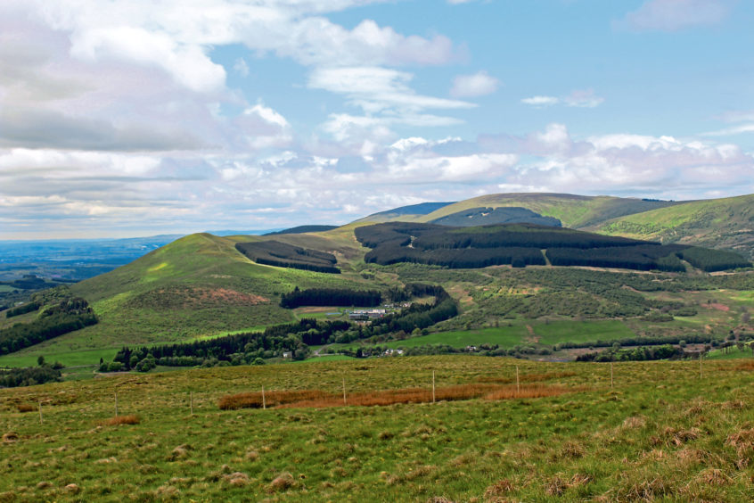
Sitting on the southern fringes of the Ochil Hills, overlooking Glen Devon, Lendrick Hill may be one of the lower peaks in the range, but it does present a stiff wee climb with some lovely views from the summit.
Partially cloaked in forestry, access to the top is via firebreaks cutting through the trees and, while the most direct route up is from a track-end in Dunning Glen, I opted to start a little to the west, by Castlehill Reservoir, in Glen Devon.
With the picnic area and car park at the southern end of the loch closed, I set off from a large layby on the western shoreline, hiking south along the grassy roadside verge before cutting down through the former parking area.
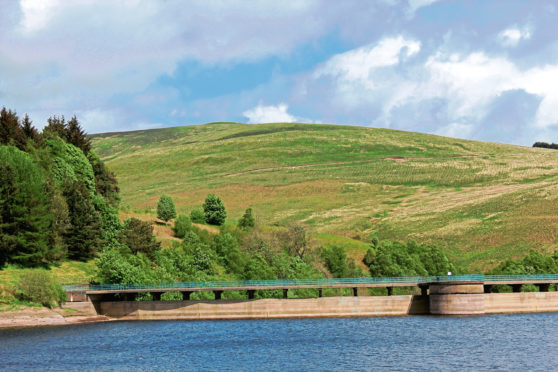
Created in 1978, Castlehill Reservoir, along with other reservoirs in Glen Devon, supplies drinking water to Dunfermline and west Fife and, stocked with brown trout, rainbow trout and perch, attracts anglers.
With Lendrick Hill in view, I crossed the dam, which rises high above a leafy gorge, before skirting the edge of woodland to join a farm track that rounds the base of Down Hill to meet the Dunning Glen road.
Access to Lendrick Forest is to be found a little way to the north, a track leaving the road at a gate and rising over felled ground.
Above a hairpin bend, the route climbs steadily on to the northern spur of Lendrick Hill and, above a tight S-bend, the first of two opportunities to make a break for the summit presents itself.
From a small cairn and marker post, a steep path strikes up a slender gap in the conifers. It offers a direct line to the top but is arduous and unrelenting and an arguably better way is to be found further along the track.
Again, an arrow post marks the point of entry to the trees, another within the plantation keeping walkers on track as the path, damp and mossy underfoot in places, weaves up through the forest at a less demanding gradient.
The trail swings left as it meets up with the route encountered earlier and, accompanied by a couple more marker posts, climbs out of the trees and over grassland to a fence and stile just below the summit.
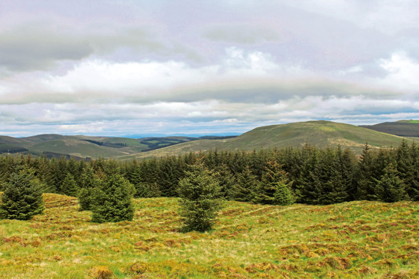
From here, it is an easy stroll to the small cairn marking the top of Lendrick Hill from where there are views in all directions, the valley of the River Forth, to the south, and the Lomond Hills and Loch Leven to the east catching my eye.
After visiting the trig point, which sits a few metres below the cairn, I retraced my steps to the stile below the summit and pondered my route of descent. The most straight-forward way off the hill is by either of the two firebreak paths.
However, branching left along the fence line, I found a way down the western flank, a slim grassy trail dipping along the edge of the established plantation to my right and new planting beyond a high fence on my left.
Lower down, the way remained distinct through reedy ground and bracken before it met up with the forest track at a makeshift bridge of logs slung over a ditch from where I returned to Castlehill Reservoir via the Down Hill track.
ROUTE
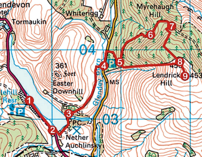
1. Walk 560m south along A823.
2. Go left through gate (signed Dunning Road), follow roadway around southern end of reservoir and cross dam.
3. Bear right up waymarked path to meet track. Go right and follow track to B934 Dunning Road.
4. Turn left and walk 250m north up road then go right along track (signed Lendrick Hill). Pass through gate and ascend to first bend.
5. Swing left and continue up track for 650m.
6. Bear right, up through tight S-bend, ignore waymarked path branching right and continue along track for 500m.
7. Branch right off track at waymarker post and follow waymarked path up through forest to stile on open hillside.
8. Cross stile and ascend grassy path to summit.
9. Return to stile, cross and go left, following fence line down to high gate. Don’t go through but continue down righthand side of fence to re-join track at point 5. Retrace steps to reservoir.
INFORMATION
Distance: 8km/5 miles
Ascent: 340m/1120ft
Time: 2-3 hours
Grading: Moderate route following tracks and paths to hill summit with some prolonged and strenuous ascent along the way
Start/finish: Large layby on A823 on western side of Castlehill Reservoir, 2km north of Yetts o’Muckhart (Grid ref: NN 996032)
Map: Ordnance Survey 1:50,000 Landranger sheet 58; Ordnance Survey 1:25,000 Explorer sheet 369
Tourist Information: Perth iCentre, 45 High Street, Perth PH1 5TJ (Tel 01738 450600)
Public transport: Stagecoach bus service 23 linking St Andrews and Stirling stops in Yetts o’Muckhart


