Over the past few years, Stirling has become a haven for cyclists.
Cycle paths have popped up around the city, connecting key places and making it easier for locals to get around by bike.
The Walk, Cycle, Live Stirling project – which was consulted on in 2020 – aims to make Stirling a more “sustainable, vibrant and accessible place for everyone to live, work and visit”.
Its purpose was to boost journeys made by foot, by bike, by scooter or by wheelchair, sometimes known as “active travel”.
We took a closer a look at the cost of Stirling’s existing active travel links, as well as future plans for more cycle paths.
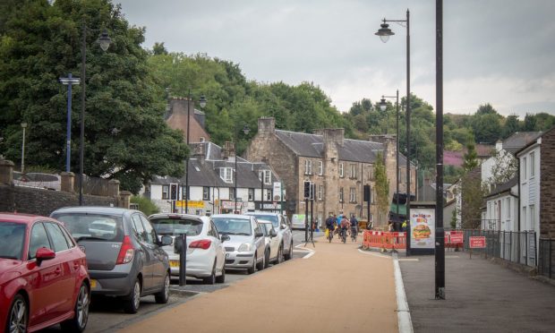
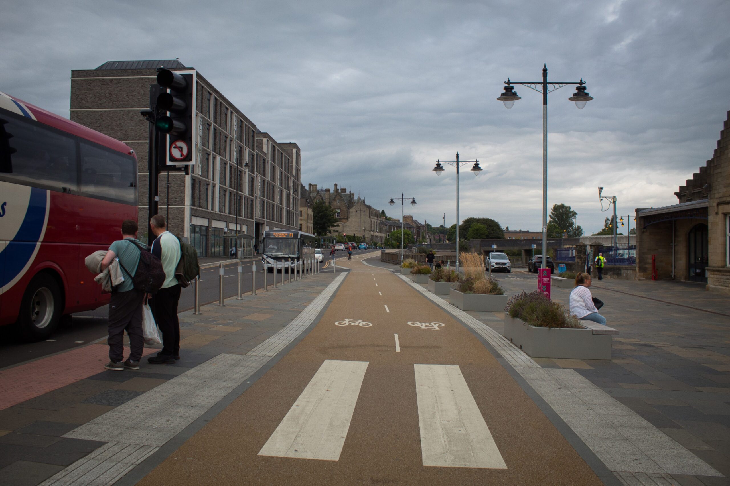
Where are Stirling’s cycle paths?
Walk, Cycle, Live Stirling involved the construction of 6.5km in active travel infrastructure.
This project created two routes:
- Route 1: Stirling train station to the University of Stirling
- Route 2: Forth Valley College to Stirling city centre
The former saw upgrades to active travel on Upper Craigs, Cowane Street, Goosecroft Road and Lower Bridge Street.
Heading towards the university, improvements were made to Causewayhead Road, Airthrey Road and Dunster Road.
The second route saw works carried out on Raploch Road, Drip Road, Albert Place, Dumbarton Road and Raploch Road.
How much did the cycle paths cost?
The Walk, Cycle, Live Stirling project cost around £9.5m in total.
Funding was granted through several bodies. This included:
- £2.539m from the Stirling and Clackmannanshire City Region Deal
- £6.8m from Sustrans Scotland on behalf of Transport Scotland via Places for Everyone
- £258,000 from Stirling Council’s developer contributions allocation
This money was specifically allocated for the active travel project and could not be spent elsewhere.
Are Stirling’s cycle paths a success?
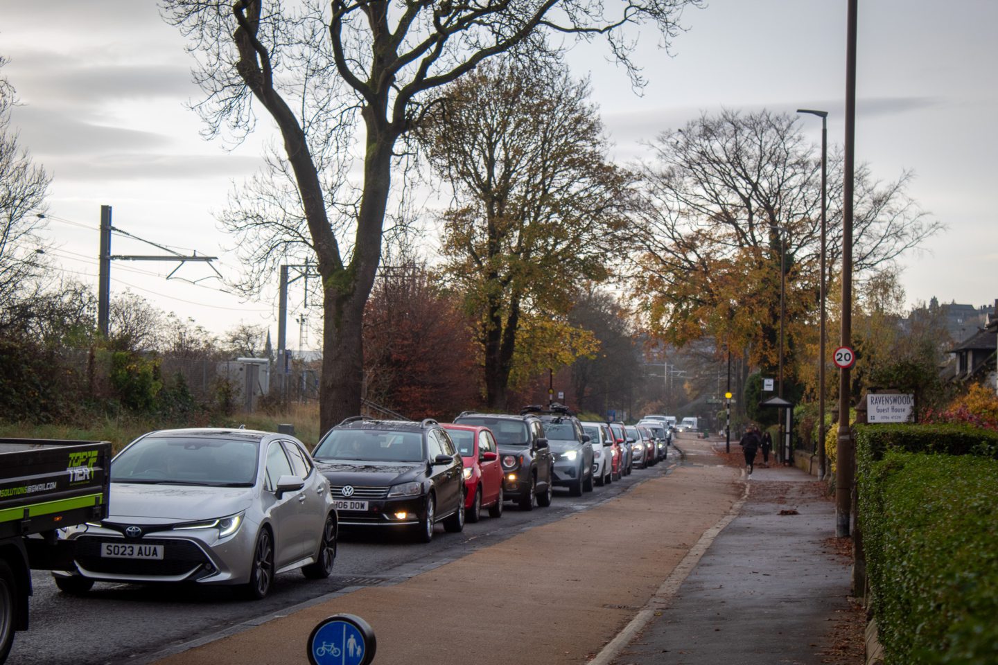
According to a Cycling Scotland report, a total of 10,926 journeys were made by bike southbound on Airthrey Road in June, July and August of 2024.
During the previous year, 5,295 cyclists were recorded on the same route in this period.
Burghmuir Road also saw a boost of 40%.
What other active travel infrastructure has been delivered?
A route between Cowie and Bannockburn, next to the B9124, now runs from Easter Greenyards Farm to the railway bridge.
This cost £500,000 in total to build, made up of £375,000 from Transport Scotland’s Active Travel Transformation Fund, and £125,000 from Stirling Council’s Core Capital Fund.
Behind the Blairdrummond Smiddy farm shop, a new path was constructed to eliminate the need for pedestrians and cyclists to use the junction between the A84 and A873.
Transport Scotland’s Active Travel Transformation Fund covered the £140,000 cost.
This fund also contributed to the new footpath on the West Highland Way in Carbeth and widening work on the footpath linking Fallin and Millhall Road.
What else is planned?
There are hopes that the established active travel paths could link to other projects in the wider Stirling Council area, Clackmannanshire and Falkirk.
The Forthside Masterplan could bring the following routes:
- Ladysneuk Road to Goosecroft Road
- Manor Powis to Forthside via the A91
- Fallin to Forthside via Kerse Road
- Riverside route in Forthside
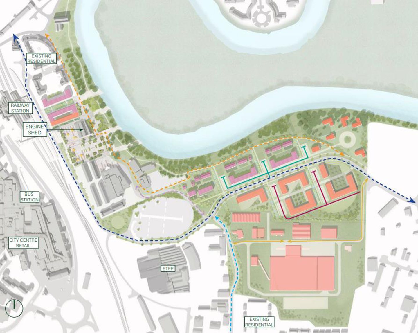
Levelling Up funding that amounts to £3m is to be used on this project.
According to the masterplan, this will unlock match funding for the remaining cost of the routes, totalling £8.5m.
Sustrans is expected to cover the cost of design work.
A Causewayhead to Dunblane via Bridge of Allan route is also in the planning stage and would be funded through Transport Scotland or the City Region Deal.
Other routes in the works include:
- Bannockburn to Braehead and the city centre
- City centre south: Burghmuir Road
- City centre south: St Ninians
For more Stirling news and features visit our page or join us on Facebook


Conversation