A mountain of sand totalling more than a million tonnes could be added to Montrose beach in the next decade to protect the town from the North Sea.
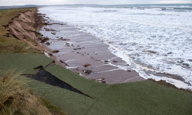
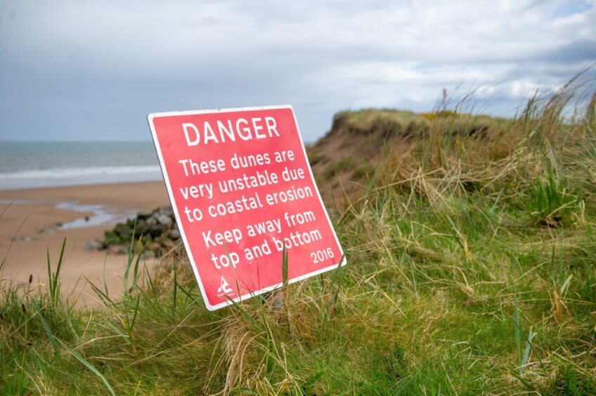
The staggering figure has emerged as part of a long-term strategy to halt erosion which has claimed seven metres of dunes in the last year alone.
Experts warn flood corridors could engulf Montrose within the next 30 or 40 years, if nothing is done.
And the start gun has now been fired on the next stage of the battle ahead of this winter’s storms.
It includes the longer-term plan to replenish the dunes.
Consultants commissioned by Angus Council have submitted an environmental screening application around the measures they believe are necessary.
AECOM has been working on behalf of the council to develop the Montrose strategy.
Key elements include:
- Construction of a permanent vehicular beach access
- Two-phase dune restoration and beach nourishment
- Construction of two rock groynes
- Additional sand deposits as part of long-term strategy
Low-lying dunes would be topped up with thousands of tonnes of sand as a “sacrificial frontage” on the most threatened parts of the beach.
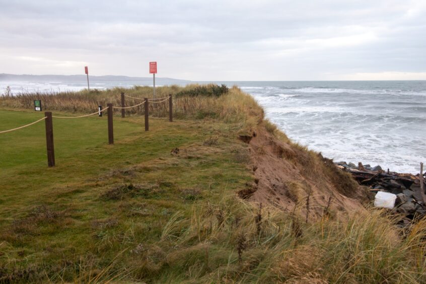
Those include sections of Montrose’s historic championship golf links.
It is the world’s fifth-oldest course and lost more than three metres during Storm Babet and its aftermath.
How much sand is needed for coastal erosion plan?
The screening document reveals the massive amount of material required at Montrose.
It includes:
- Combined maximum of 800,000 cubic metres over 10 years
- Up to 200,000 cubic metres in one year above MHWS (mean high water springs)
- Up to 75,000 cubic metres in one year below MHWS
- 50,000 cubic metres for initial dune restoration
- 80,000 cubic metres for full dune restoration
Each cubic metre of sand equates to more than 1.5 tonnes.
The sand is still being sourced and would be brought to Montrose Bay by barge or dredger.
It would then be pumped on to the beach round-the-clock.
No definite beach access has been identified at this stage.
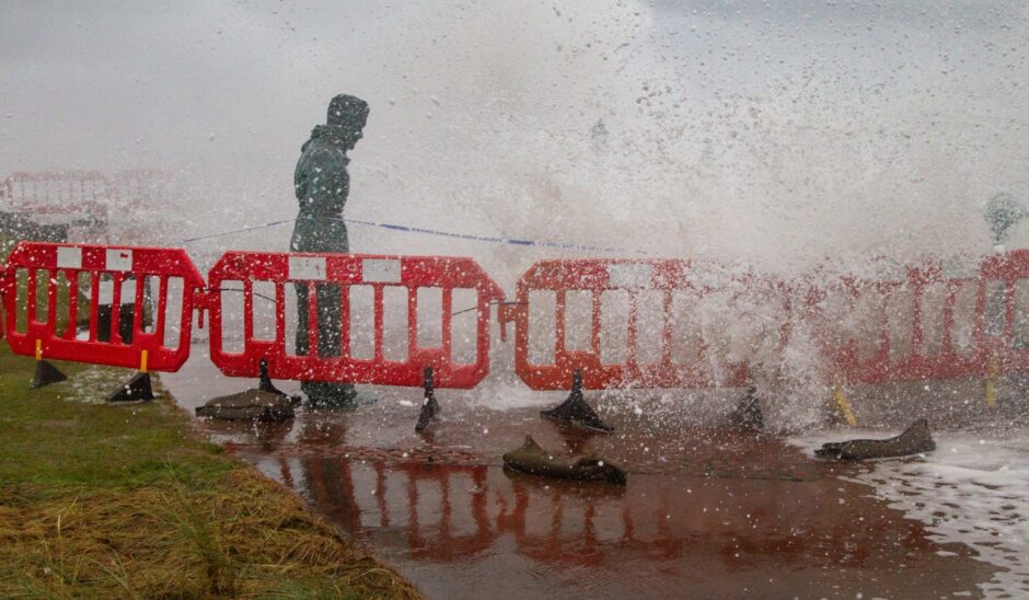
But a possible location could be along from the promenade which was badly damaged during the recent storms.
Rock groynes will bolster the defences.
Those will run from the foot of the dunes to around the low tide mark.
They would be five metres wide and 1.5 metres high.
What happens now?
AECOM has lodged an environmental screening opinion which goes to Angus Council planning for consultation.
“This is part of our requirements under the environmental impact regulations,” said the council.
The Marine Directorate is also part of the consultation.
The next step could take place in May. But the consultation period may be extended by up to three months.
Future timescales will be driven by the outcome of the consultation, say the council.
However, this year, the authority will be using £440,000 of Scottish Government money to temporarily shore up the most at-risk areas ahead of next winter.





Conversation