An area with an approximate population of just under 6,000 people…
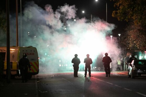
…and which on Halloween was the scene of a riot.
These three streets were the setting for most of the incidents.
Every four years the Scottish Government publishes data on what they call the multiple indices of deprivation.
It looks at a variety of factors including income, employment rates, access to services and health and breaks down the data to small neighbourhood-sized areas.
Whilst this is the most up to date data available, it is based on analysis from prior to the pandemic.
With this area of Kirkton being one of the least deprived areas of the country.
The area on top has seen investment in new housing developed in the last few years.
Looking further into the data can tell us a bit more about the areas involved in the incidents.
Based on the latest data, 42% of residents in the central area are classed as income deprived…
…compared with only 5% a few streets over.
And in terms of crime, east Kirkton had a much higher rate per capita than the rest of the area.
The data in this article all comes from the Scottish Index of Multiple Deprivation and the Brexit Vulnerability Index – both of which were compiled by the Scottish Government.






Conversation