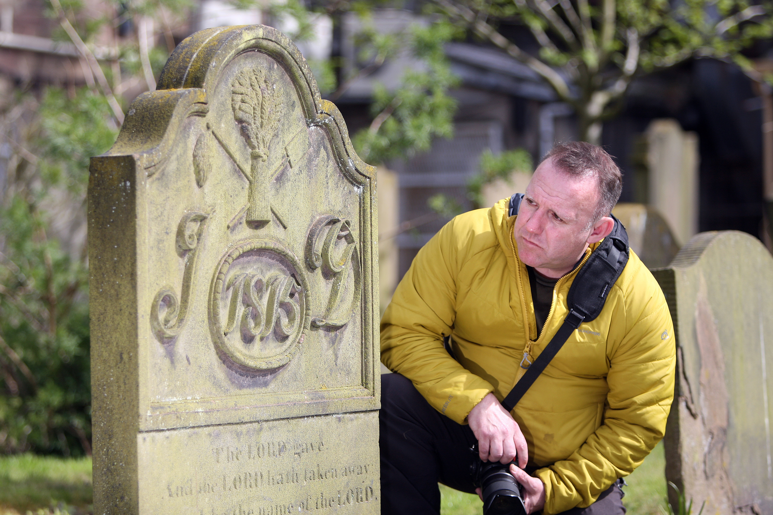
A comprehensive mapping of Dundee’s iconic and ancient city centre burial ground, The Howff, has begun.
The Howff Conservation Group, after receiving a grant from Dundee City Council’s neighbourhood services committee, will carry out a survey of the burial ground which will include detailed recording of each memorial.
Dating from 1564, the category A protected cemetery is one of the most important in Scotland and was in use for more than 200 years, with the last burial taking place in 1857.
Over a week, an archaeological survey team and volunteers from the group will be in The Howff using a robotic survey system that will record measurements and locations of all memorials, paths, walls, buildings, trees and flower beds.
This information will then be uploaded into a computer programme that will produce the digital map.
Simon Goulding, the group’s chair, said the project would allow people from all over the world to find out about the history of Dundee’s previous inhabitants.
He said: “There’s so much history in this cemetery, from mass burials of possibly up to 100 bodies during epidemics, to grave diggers selling bodies on to science.
“The transcribing aspect of the project is really throwing up some information that we didn’t know about before.
“We have researchers working on the records from as far afield as North America and it’s showing how people were buried at the time.
“We believe some of the pits could be very big so we’re estimating that there could be around 80,000 bodies buried in The Howff in total.”
On top of a team of eight volunteers, the group are employing three professionals to carry out the extensive mapping with the funding for the project coming in the form of a £8,250 grant the group received from the council.
As well as pay for the wages of the surveyors and archaeologists, this is also being spent on specialised mapping equipment, which includes a mobile robotic surveying machine which maps the area using lasers.
In 1832, The Howff was given an overhaul with individual graves marked with unique numbers that correspond with entries in the town burial records, and comprehensive mapping also took place up until around 1838/39.
Simon said: “After this period The Howff was not used to the magnitude as in previous years because the New Burial Ground or New Howff had been opened some years earlier, but burials were still taking place and headstones were being erected.
“With this robotic survey taking place, it will allow the group to use the old map as a layer on a GIS mapping system that will give a visual insight of how The Howff had changed from 1838 to its closure on 1880.”
