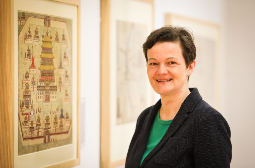
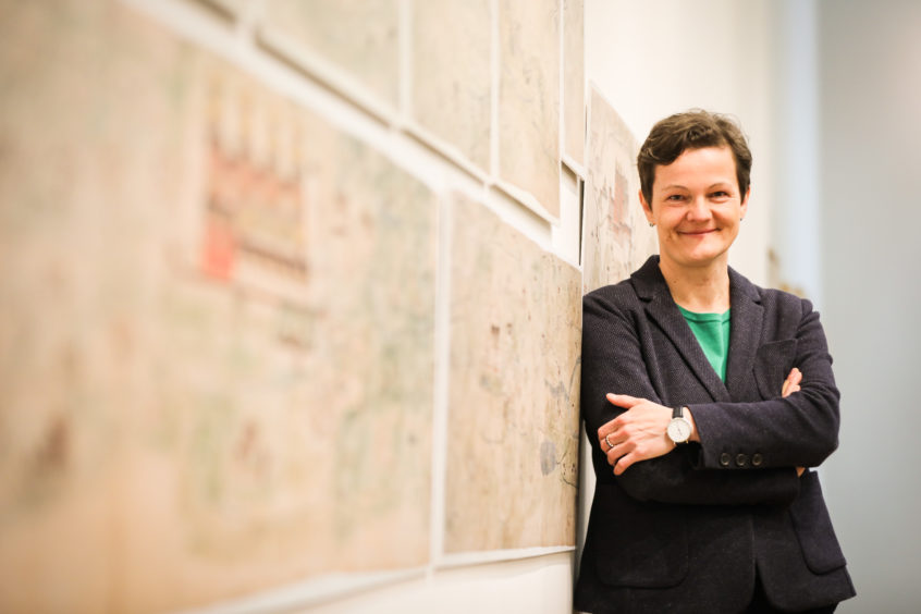
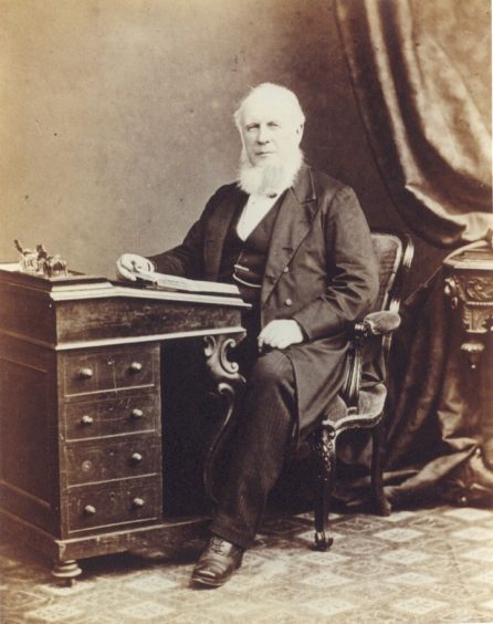
World leading Tibetology map expert Dr Diana Lange of Germany gives Michael Alexander a preview of a talk she is giving at The McManus in Dundee on the ‘Tibet Collection’ of 19th Century Dundee-raised doctor Thomas Wise.
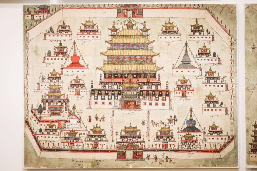
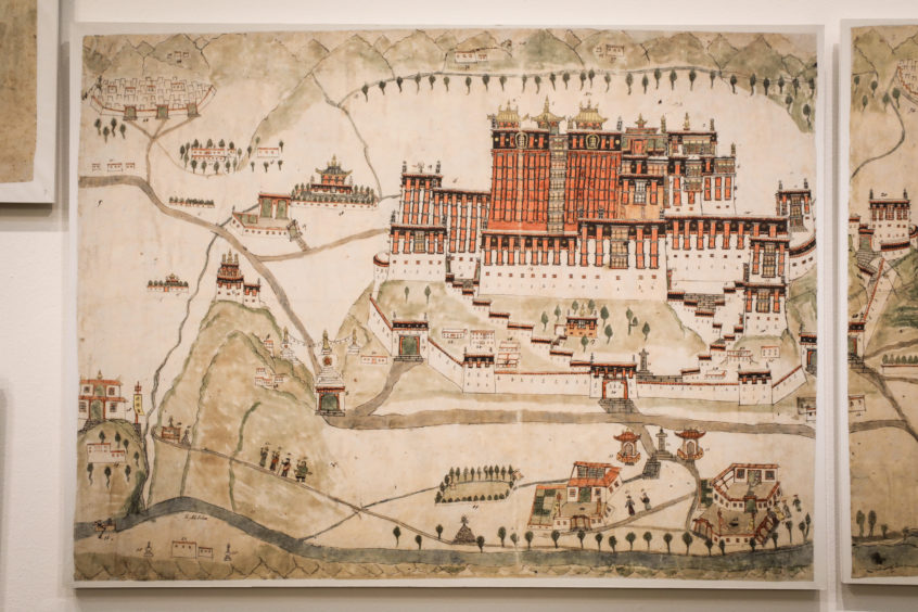
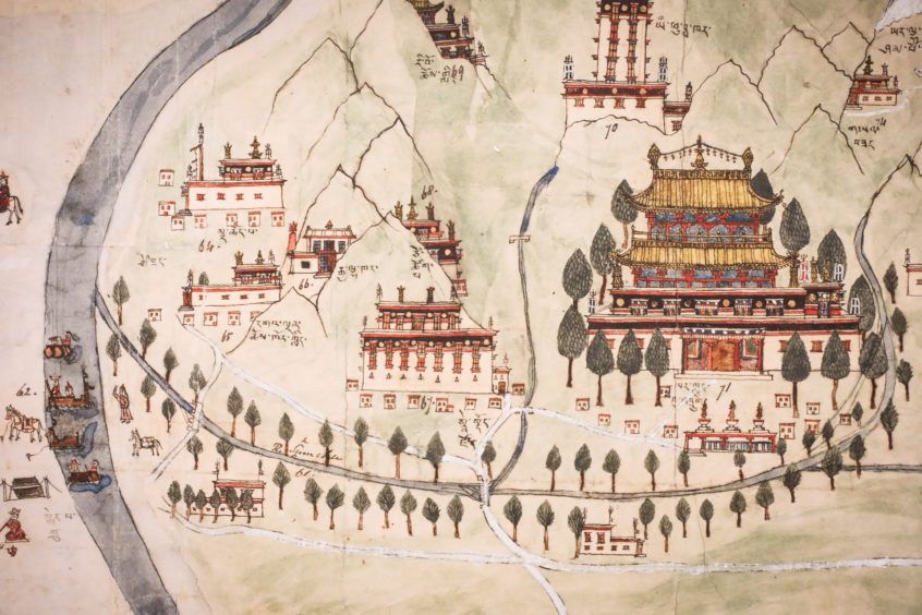
Elaborately painted monasteries tower into the sky next to strategic river crossings and high mountain passes.
Tiny figures in traditional Tibetan costume stride past trade stations clutching the hands of children, pulling horses or carrying their wares.
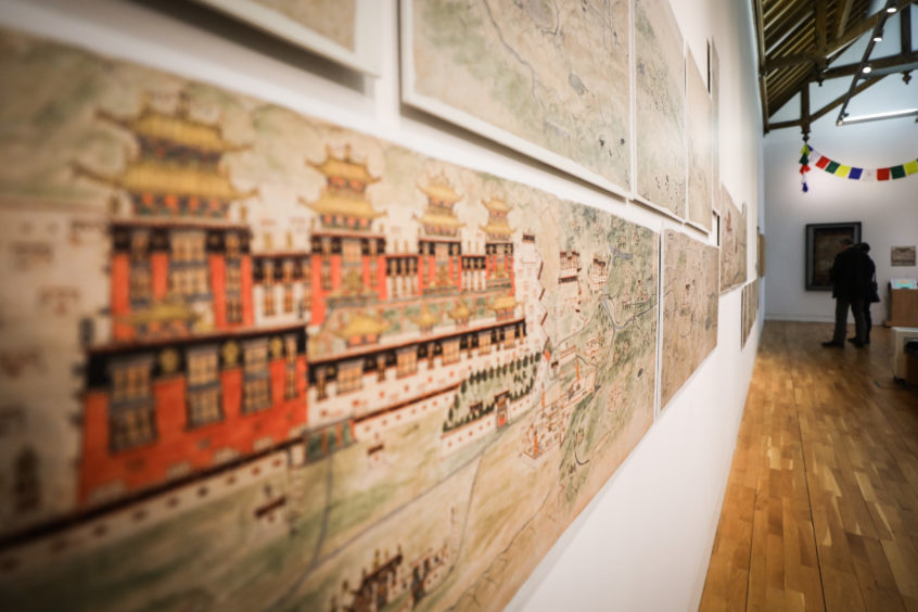
The Wise Collection of hand painted maps, which are more than 150 years-old, have been captivating visitors to The McManus in Dundee for the last six weeks as part of a show examining the life of 19th century Dundee doctor Thomas Wise and his expeditions around Tibet, India, China and Japan.
Placed side-by-side, the detailed pictorial watercolours, on loan from the British Library, form a continuous panorama illustrating the 1800 km main east-west route across Tibet used by traders, caravans and pilgrims until the middle of the 20th century.
However, fresh light will be shed on their history tonight when the world’s leading expert on the Wise Maps, Dr Diana Lange of Berlin’s Humbolt University, delivers an in-gallery talk on the collection.
Tibetologist Dr Lange has been working extensively on the collection for several years and her research is a true detective story.
In an exclusive interview with The Courier at The McManus, she explained that her talk will introduce the Wise Collection and share her “journey of discovery”.
“The maps, which are the most comprehensive set of large-scale depictions of 19th century Tibet, are named after Dundee’s Dr Thomas Alexander Wise – but he did not commission them,” explained Dr Lange, who first came across the Wise Collection after researching coracles for her PhD in Tibetan fisheries.
“I discovered they were commissioned by Major William Edmund Hay (former assistant commissioner of the Kulu district) when he was stationed in the Western Himalayas – an area which was the gateway to the north of the region.
“From an Asian point of view it was a transient region. But in those days Tibet was a real blank space on the European maps of the area and the Europeans were not able to cross the 8000 metre peaks.”
With entry to Tibet restricted and the British dependent on training Indian ‘spies’ to explore and collect information about the region, Major Hay engaged a Tibetan monk from Lhasa whom he referred to as ‘my Lama’ – a term for a well-educated monk.
He asked him to use insider knowledge to ‘draw and describe Tibet’ from memory.
Dr Lange said she doesn’t yet know the name of the monk. However, it is known he was a travelling lama who was probably on pilgrimage when he met Major Hay.
He was also experienced in drawing and had in-depth local knowledge.
The monk likely travelled along the route of the maps and drew them from memory.
The drawings contain topographical details such as mountains, lakes and rivers as well as flora and fauna.
There is also detailed information about infrastructure such as bridges, ferries, military garrisons and monasteries.
There are also annotations on the maps both in Tibetan, in the handwriting of the monk, and in English, in the handwriting of Major Hay.
“From the view of Tibetology, it’s the most comprehensive and first pictorial map of the whole of Tibet made by a Tibetan lama and commissioned by a British official in the mid-19th century,” said Dr Lange.
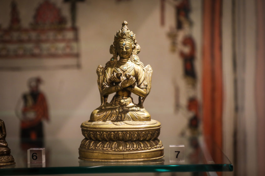
However, she said mystery continues to surround how Dundee-raised Dr Thomas Wise, whose collection of other Tibetan artefacts are on display in McManus alongside the maps, came to acquire them.
She suspects it’s because Major Hay, who most likely commissioned the maps in an attempt to make money from the British government, could not persuade the Royal Geographical Society to buy them for their collection.
“Although he was a fellow of the RGS, it’s my theory that because the maps are very pictorial, they were not taken seriously,” she said.
“They were made by a Tibetan lama who did not grow up with Google Earth. Trained as a monk, he was trained in memorising texts by heart, so would have had an amazing visual memory.
“But they didn’t look like accurate maps that were being made by western standards at the time.
“In those days there weren’t any other maps of Tibet, so it was difficult to prove they were correct. I think that’s why they were probably rejected.”
Dr Lange says the “only gap” in her research is how Wise, who worked with the Indian Medical Service, acquired them.
However, she assumes that Hay sold them to Wise, who was regarded as a true polymath, because he was “definitely interested in the topic and the material”.
She added: “If Hay would have published this collection I think I’m sure he would be regarded as one of the pioneers of Tibetan studies nowadays. But he sold his potential fame to Wise.
“For me it’s important for me to understand this collection as a whole. It’s great to see Wise’ objects and selection of the maps united in Dundee for the first time.
“My dream is that one day the whole collection, including all the maps and the story of the collection, can be displayed together.”
*The talk by Dr Diana Lange from Humbolt University in Berlin – Journey Of Discovery: The “Tibet Collection” Of Thomas Alexander Wise – takes place at The McManus, Dundee, at 6pm on April 18. Tickets priced £5 or £3 (conc) are available from https://www.eventbrite.co.uk/e/journey-of-discovery-the-tibet-collection-of-thomas-alexander-wise-tickets-55911522870
The free Wise Ways exhibition runs at The McManus until August 25.
