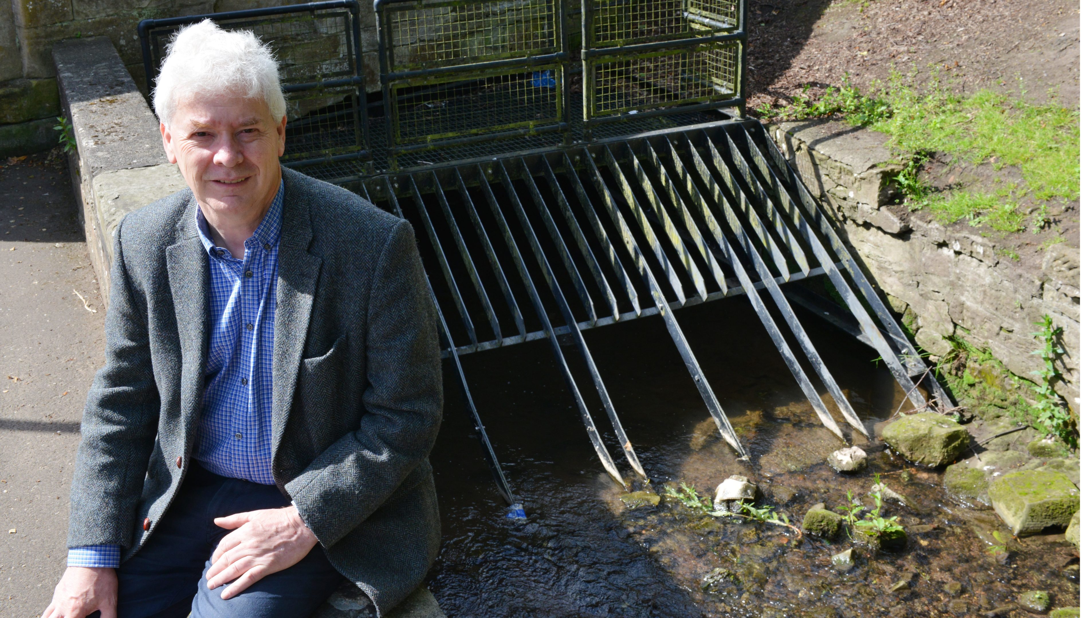
Plans to reduce the devastating impact of flooding on vulnerable communities across Fife have been given the green light.
Around £1.75 million will be spent on flood protection studies in areas of the region identified as potential weak spots over the next four years.
Communities will also be educated on what action they can take to protect themselves and local flood action groups will be created.
But while the plan has been broadly welcomed, concern has been expressed in Cupar which has suffered badly from flooding in recent years.
While a specific flood prevention scheme has been earmarked for St Andrews, none is planned for Cupar.
Instead, there will be flood forecasting and warnings, awareness-raising for locals and an emergency response plan.
Local councillor Bryan Poole said he was both concerned and bemused by the decision.
“Not only has Cupar been regularly flooded but the villages round about have also suffered very badly.
“I am concerned because as most people know there is a significant piece of land to the north of Cupar where 1,500 houses will be built on a hillside and the only escape for the water will be in to Cupar.”
Another Cupar councillor, Margaret Kennedy, said funding had already been found to resolve an ongoing issue in the town’s Haugh Park and added that other hot spots were being regularly inspected.
“Flooding has a significant effect on the people involved,” she said.
“Generally in society we feel that if it is material things with no loss of life then it’s not detrimental.
“However I have seen the impact on people and it has become a major psychological issue for many.”
The local flood risk management plans pull together 16 flood protection studies, two natural flood management studies and nine surface water management plans.
They will see the council working with the Scottish Environment Protection Agency (Sepa), Scottish Water and neighbouring local authorities.
Included will be areas surrounding the Tay Estuary such as Tayport, Newburgh, St Andrews and Cupar, as well as towns and villages near the Forth Estuary including Crail, Pittenweem, Kirkcaldy, Leven and large swathes of west Fife.
Councillor Pat Callaghan, Fife Council’s environment spokesman, said: “Individuals are the first line of defence when it comes to protecting themselves and their properties from flooding.
“These plans identify areas in Fife with a flood risk and how the risk can be reduced by working with other agencies and interested communities in Fife.
“We now need to implement these plans, which will bring real benefits throughout Fife.”


