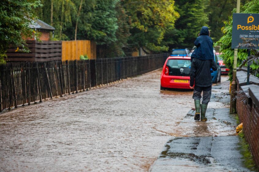
Councillors are being asked to approve a £314,000 flood prevention programme for the Craigie area of Perth.
But the measures will only tackle one small section of the Craigie Burn, which has flooded repeatedly in recent years.
And the earliest Perth and Kinross Council would be able to secure funding for the works is 2028.
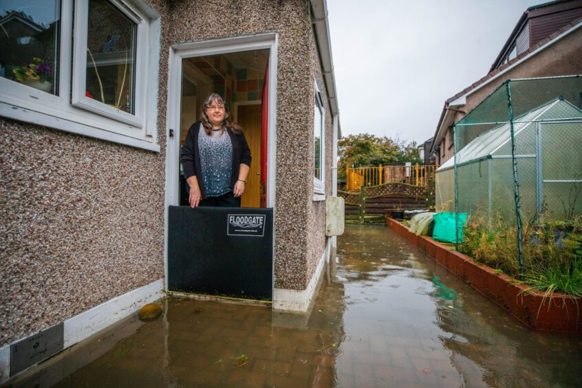
Residents in some of the worst affected areas say the proposal will do nothing to protect their homes.
And they warn it will not alleviate problems with sewage and surface water which are causing much of the misery in Craigie.
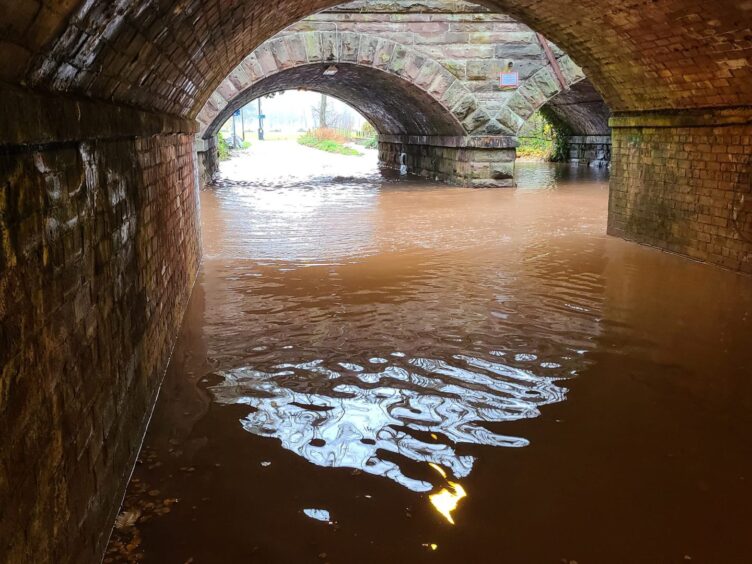
The plan is to upgrade a culvert on the Craigie Burn at Queen’s Avenue (at the access to Queen’s Court).
Materials will also be removed from the burn at another site, next to Balmoral Place and Queen’s Avenue, so the water can move more freely.
The recommendation is contained in a report that will go to the council’s climate change and sustainability committee on Monday.
Perth’s Craigie flooding threat set to worsen
It follows a flood study carried out for the authority by Amey Consulting engineers.
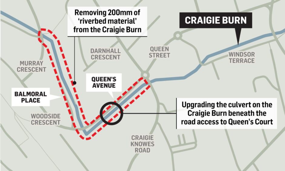
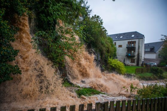
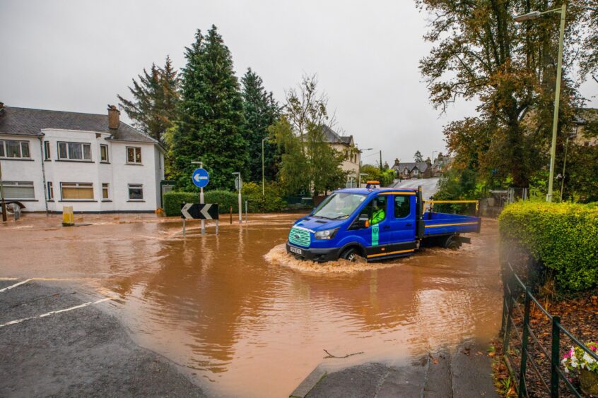
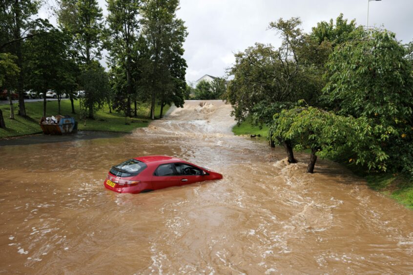
They confirmed properties are at risk of flooding in the following areas:
• Cherrybank area – Glasgow Rd, Necessity Brae and Low Road;
• Orchard Place and Murray Crescent;
• Balmoral Place, Queen’s Avenue, Queen Street and Windsor Terrace;
• Croft Park and the South Inch.
The study also estimates the number of properties at risk is set to double due to climate change.
The engineers considered eight different solutions for locations along the length of the Craigie Burn.
However, in order to be accepted by the Scottish Environment Protection Agency (Sepa) – and therefore qualify for government funding – a project has to be deemed “economically viable”.
And the Queens Avenue/Balmoral Place plan was the only solution which met the criteria.
Timescales and funding still unclear
The report explains: “It is recognised that the recommended actions noted above have a limited benefit and that properties in other areas of the catchment will remain at risk
of flooding from the Craigie Burn.”
It goes on: “Unfortunately, it is not always possible to remove all flood risk in a catchment and some residual flood risk will always remain.
“This would remain the case, even if it were possible to implement all of the
potential actions identified in the study.”
If the scheme is approved by councillors, officers will submit details of the proposed scheme to Sepa for prioritisation in its next flood plan covering the period from 2028-2034.
However, the report warns: “Due to the on-going Scottish Government/CoSLA review of capital funding for flood schemes, and the other schemes that the council is already progressing, the timescales and funding arrangements remain unclear for the time being.
“The next phases of work to develop the flood scheme proposals will therefore not commence until this funding review provides further clarity.”
Proposal ignores bigger picture
Perth Community Flood Aid member Janice Haig, who lives in the Craigie area, said the proposal offered only a very limited solution.
The works will not protect her home, or properties in the Cherrybank area, where the Scouring Burn poses the greatest threat.
Nor will they do anything to tackle issues caused by surface water and sewage.
“We feel that to break it into sections, rather than look at the whole picture, is not really solving the issue with Craigie Burn,” she said.
“It might stop the flooding in that one small section but there are plenty of other areas that are not going to be affected.”
She also called for a re-examination of the way funding for flood schemes is made available, since it is much harder to make the case for schemes in smaller communities being “economically viable.”
Perth’s flood risks will be discussed at a public meeting on Saturday.
Perth Community Flood Aid is hosting the session in Glenearn Community Campus at 12.30pm on November 25.
The group is drawing up a map of the worst affected areas in the city.
Volunteers will also be offering advice to people on how to protect their homes.





Conversation