Blairgowrie residents want a plan to build 171 homes refused due to flooding risks.
Alistair Huddleston says the applicant Persimmon has been underplaying the flood risk on the site.
However, the developer claims that pluvial flood risks have been addressed through its drainage strategy.
The proposal is part of a master plan by Westpark Partnership LLP to build 400 houses, a retail development and educational provisions.
In 2023, an application for more than 100 homes was granted as part of the same development despite objections.
Flooding concerns over plans for new homes in Blairgowrie
In his objection letter, Alistair said: “Recent flooding of almost all roads connecting Blairgowrie to Perth, Dundee and other cities have at times left the town all but cut off.
“The existing emergency services have all stated repeatedly that they do not have sufficient resources to respond adequately at these times.
“Before any such planning application is granted all of the road network around Blairgowrie needs to be made free from flood risk before any further increase in local population is allowed or encouraged.”
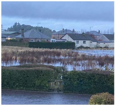
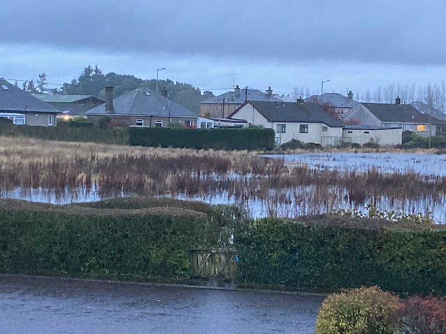
He added: “A significant portion of the planned site experiences frequent flooding.
“Removing more plant life and having more hard surfaces will cause increased problems in the homes around the planned site.
“This site would need the establishment of a mature native woodland belt along north-east and west boundaries at least five years prior to starting any building work on the site.”
Another objector, Shirley Doig, wrote: “This field floods every time it rains hard, the water floods down from the fields above and sits there for weeks.”
Nicola Muir wrote: “This development should definitely not go ahead due to the lack of infrastructure in place for the growing population.
“It is also a field that is known to have flooding from time to time.”
Persimmon says flood risk ‘addressed’
The design statement, prepared by Brindley Associates, acknowledged a flood risk but said a drainage strategy would be in place.
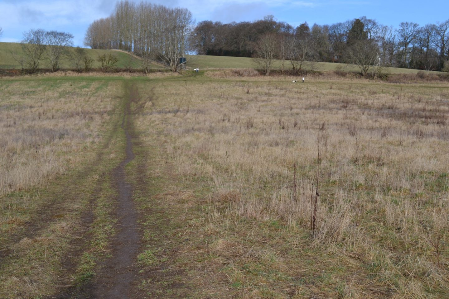
It said: “There are no watercourses within or in the immediate vicinity of the site.
“However, reference to the online Sepa flood map indicates that parts of the site are at risk of pluvial flooding.
“This is a function of the existing topography retaining surface water within the site, and the associated risk has been addressed through the site levels design and drainage strategy.
“The surface water drainage strategy comprises the use of filter strips within the site and an off-site masterplan detention basin.
“The surface water drainage infrastructure has been designed for prospective adoption by Scottish Water.”
Sepa said it had “no site-specific comments on this application.”
The application can be viewed on Perth and Kinross Council’s planning portal.


Conversation