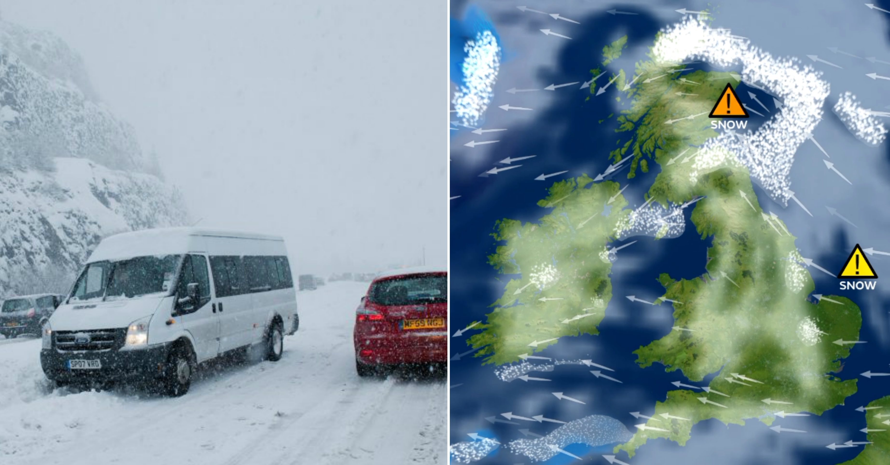
Tayside and Fife could be battered by thundersnow, blizzards and almost 8in of the white stuff as the UK prepares for a flow of freezing air from Russia.
The “Beast from the East” is due to move into the country on Monday evening and has led to a series of weather warnings being issued by the Met Office for the coming days.
Forecasters said wintry showers could bring power cuts and widespread disruption to roads, rail services and flights; with temperatures “struggling” to get above freezing.
The cold weather, which is moving into the UK from Russia and Eastern Europe, is expected to begin overnight from Monday into Tuesday and to bring heavy snowfall to Tayside and Fife on Wednesday.
Thundersnow is also a possibility in Courier Country with lightning predicted along the east coast. Blizzards are also possible.
An amber warning of snow has been issued by the Met Office for Tayside and Fife from Wednesday from 6am until noon, with Dundee, Perth, the whole of Angus and most of the Kingdom falling within the warning area.
Another amber alert is in place on Thursday from 6am until noon.
A further yellow alert is in place for the local area from Tuesday morning until midnight, with a further one in place for Thursday morning until midnight.
Amber warnings are the second most serious issued by the forecaster.
https://www.thecourier.co.uk/news/uk-world/607665/rare-snowfall-in-rome-as-beast-from-the-east-brings-record-low-temperatures/
https://www.thecourier.co.uk/news/uk-world/607712/flights-cancelled-as-siberian-weather-hits-europe/
Between 2in and 3.9in of of snowfall could land “quite widely” within the amber warning area on Wednesday, while up to 7.9in could gather in some parts.
Severe wind chills will also make the conditions feel even colder than they are, with lows of -3 and -4C expected across Tayside and Fife on Wednesday. Temperatures could plummet even further in areas already affected by lying snow.
Met Office meteorologist Nicola Maxey said: “It is going to be a cold week with temperatures struggling to get above freezing. Dundee is within the warning area on Tuesday, Wednesday and Thursday.
“On Tuesday there is a yellow warning which covers that east half of Scotland and that is for snow. There is the potential for 5cm-10cm (2in – 3.9in) in some places. Some areas will see snow showers, some others won’t see snow at all.
“It is not possible to say exactly where snow will land. All we can say is within the warning area you are at risk of getting snow. It all depends on how many showers come through.
“On Wednesday the temperatures probably won’t get above freezing all day in your area. For the east side of Scotland (there) is an amber warning for snow. You are looking at possibly 5cm-10cm (2in – 3.9in) of snow, certainly there is a chance in isolated local areas of between 10cm and 20cm (3.9in – 7.9in).
“We are going to see drifting snow and blizzard conditions. There is also a chance near the coast of some lightning.
“(On Thursday) there is the potential for up to 10cm-15cm (3.9in – 5.9in) in isolated areas, and quite widely 1cm-3cm (0.4in – 1.2in) and again strong winds will cause drifting snow and severe wind chill.
“Temperatures on Thursday will read around 1C in Dundee itself, in rural areas it could be -6C or -7C. There is still the possibility of snow and possibly sleet on Friday.”
The freezing temperatures are expected to continue into the weekend, although snow showers are predicted to be less widespread by then.
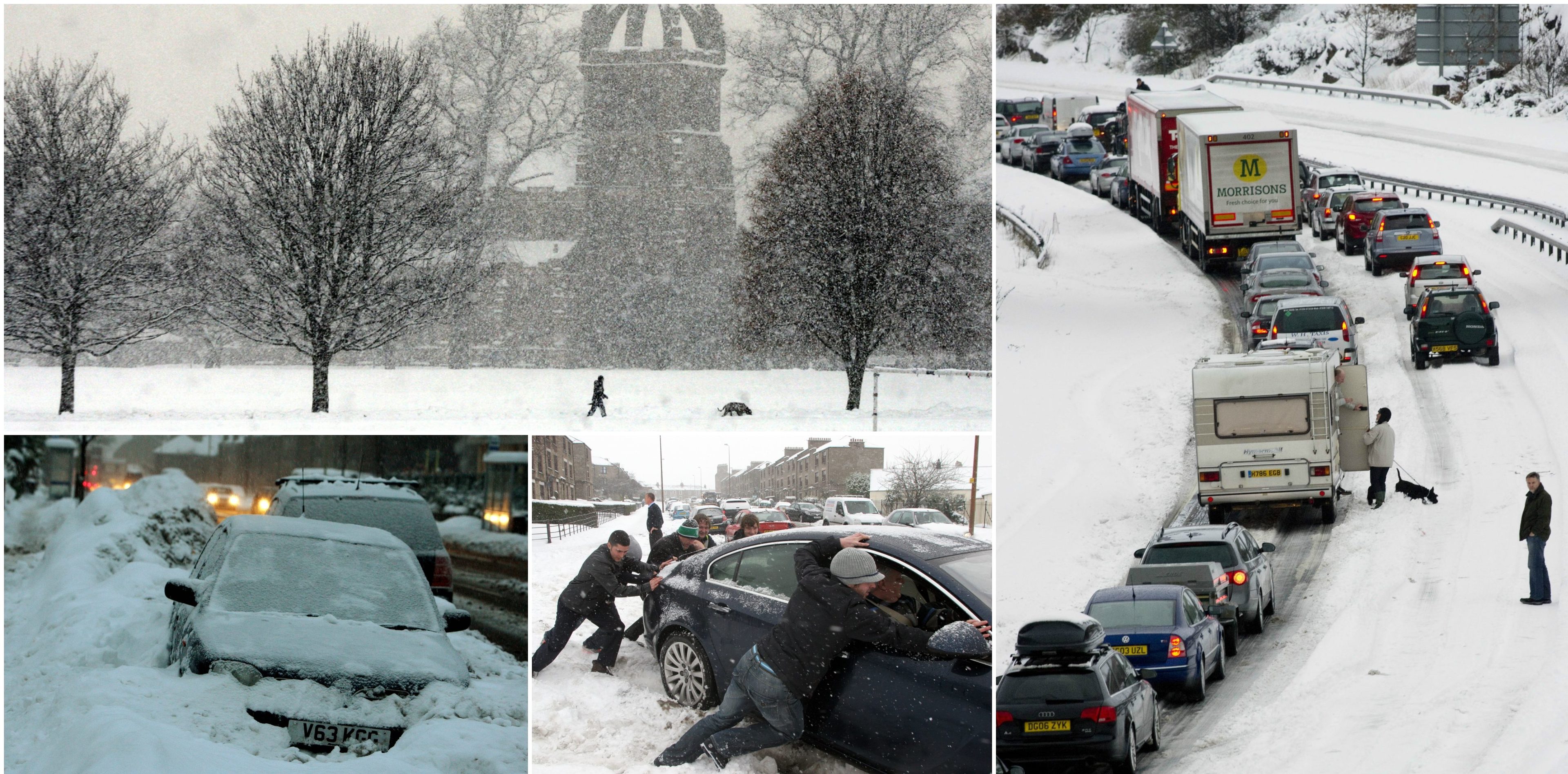
In 2010, Tayside and Fife entered into one of the most gruelling and severe winters in recent memory after being hit by thundersnow.
Dundee City Council begins preparations for snow
Dundee City Council has also warned locals to take care as temperatures drop across the city.
The local authority’s gritting crews will be out from 9pm on Monday and 5am on Tuesday, with work on footways starting at 6am.
Deputy convener of the council’s city development committee SNP councillor Mark Flynn said: “As the snow approaches, I would urge you to be prepared, be careful and be patient.
“We have the gritters at the ready, the salt piles stocked and the team ready to tackle the beast from the east.
“I’m sure you’ll have seen that treatment of the network has started and the crews will continue to treat the network over the coming days.
“Our aim is to help keep roads and footways as safe as possible during bad weather, and we constantly monitor conditions and forecasts.
“Already this winter we have experienced difficult underfoot conditions caused by icy weather, which has posed additional challenges for social care services and our colleagues in the NHS.
“As a community it’s important that we come together and help each other, so please check on your elderly and vulnerable neighbours to see if they need help getting medicines, food or care.
“If you are going out on foot, please take care as pavements may be slippery. And I would urge drivers to be mindful of the conditions.”
