Calendar An icon of a desk calendar. Cancel An icon of a circle with a diagonal line across. Caret An icon of a block arrow pointing to the right. Email An icon of a paper envelope. Facebook An icon of the Facebook "f" mark. Google An icon of the Google "G" mark. Linked In An icon of the Linked In "in" mark. Logout An icon representing logout. Profile An icon that resembles human head and shoulders. Telephone An icon of a traditional telephone receiver. Tick An icon of a tick mark. Is Public An icon of a human eye and eyelashes. Is Not Public An icon of a human eye and eyelashes with a diagonal line through it. Pause Icon A two-lined pause icon for stopping interactions. Quote Mark A opening quote mark. Quote Mark A closing quote mark. Arrow An icon of an arrow. Folder An icon of a paper folder. Breaking An icon of an exclamation mark on a circular background. Camera An icon of a digital camera. Caret An icon of a caret arrow. Clock An icon of a clock face. Close An icon of the an X shape. Close Icon An icon used to represent where to interact to collapse or dismiss a component Comment An icon of a speech bubble. Comments An icon of a speech bubble, denoting user comments. Comments An icon of a speech bubble, denoting user comments. Ellipsis An icon of 3 horizontal dots. Envelope An icon of a paper envelope. Facebook An icon of a facebook f logo. Camera An icon of a digital camera. Home An icon of a house. Instagram An icon of the Instagram logo. LinkedIn An icon of the LinkedIn logo. Magnifying Glass An icon of a magnifying glass. Search Icon A magnifying glass icon that is used to represent the function of searching. Menu An icon of 3 horizontal lines. Hamburger Menu Icon An icon used to represent a collapsed menu. Next An icon of an arrow pointing to the right. Notice An explanation mark centred inside a circle. Previous An icon of an arrow pointing to the left. Rating An icon of a star. Tag An icon of a tag. Twitter An icon of the Twitter logo. Video Camera An icon of a video camera shape. Speech Bubble Icon A icon displaying a speech bubble WhatsApp An icon of the WhatsApp logo. Information An icon of an information logo. Plus A mathematical 'plus' symbol. Duration An icon indicating Time. Success Tick An icon of a green tick. Success Tick Timeout An icon of a greyed out success tick. Loading Spinner An icon of a loading spinner. Facebook Messenger An icon of the facebook messenger app logo. Facebook An icon of a facebook f logo. Facebook Messenger An icon of the Twitter app logo. LinkedIn An icon of the LinkedIn logo. WhatsApp Messenger An icon of the Whatsapp messenger app logo. Email An icon of an mail envelope. Copy link A decentered black square over a white square.

Storm Diana: Downpour prompts 15 local flood warnings covering major rivers and towns

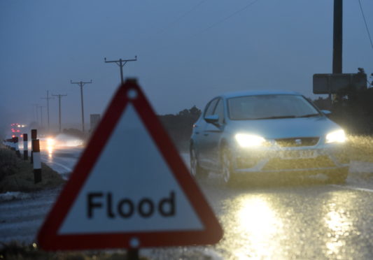
(Stock image)
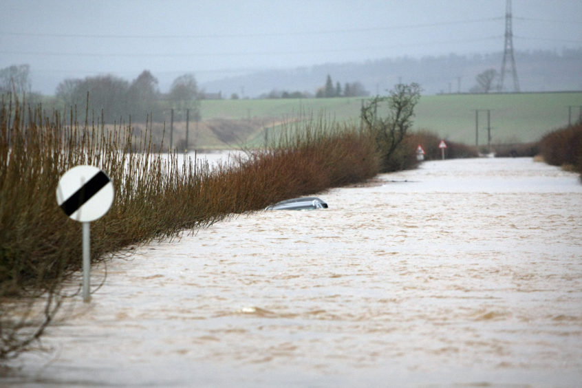
(Stock image)

Fifteen flood warnings covering almost all of Tayside’s main rivers and several of the region’s biggest towns are in force following an overnight downpour.

The Scottish Environment Protection Agency (Sepa) says that water levels along sections of the rivers Tay, Isla, Earn, Tummel, Ericht, Lyon and South Esk are all higher than normal due to the weather conditions.

The organisation had warned of dangers posed by surface water and overflowing watercourses as a result of the “persistent” rainfall which moved into the local area on Wednesday.

A weather front associated with Storm Diana hit Scotland with a downpour and 70mph winds.

The River Isla at Coupar Angus and the Upper Tay near Aberfeldy have been singled out by the organisation, with the latter town’s golf course and caravan park both highlighted as being at risk.

Areas near Pitlochry and Blairgowrie are also at risk.

Perthshire farmland in all areas falling under the warnings are also expected to be affected.

Sepa flood warnings, which are more serious than the alerts issued, have been issued for the following areas:

Perth and Kinross

River Isla at Coupar Angus

The Upper River Tay

Aberbothrie

Glen Lyon

Ballinluig to Logierait

Crieff to Innerpeffray

Bridge of Ruthven to Leitfie area.

Pitlochry to Ballinluig

Logierait to Jubilee Bridge

Kemphill to Bridge of Isla

Innerpeffray to Bridge of Earn

Carse of Lennoch to Lochlane

Blairgowrie to the River Isla

Angus

Kinnaird/Bridge of Dun

Finavon and Tannadice

A flooded road in Coupar Angus in 2016.

River levels had been expected to “remain high overnight” into Thursday.

Sepa’s Upper Tay flood warning states: “Levels on the Upper Tay are expected to respond to the persistent rainfall during Wednesday. River levels are expected to rise during the late afternoon and remain high overnight into Thursday.

“There is a risk of flooding to low lying agricultural land. There is also a risk of water encroaching on to the Aberfeldy Golf Course and Aberfeldy Caravan Park.”

Flood alerts also remain in place covering Dundee, Angus and the Tayside region.

A Met Office yellow warning for “heavy rain” remains in place across Tayside and Fife until 2pm on Thursday; with another for wind, warning of gusts of up to 65mph, enduring until 5pm.

Overnight, the Tay Road Bridge was closed to double-decker buses and a 30mph speed limit was in place. All restrictions were lifted on Thursday morning.

Double-decker buses have been banned from taking to the Forth Road Bridge and the Queensferry Crossing due to the conditions.

A warning for drivers taking to the Friarton Bridge near Perth was lifted on Thursday morning.

In Carnousite, the weather has forced the closure of the town’s Station Road railway crossing.

More to follow.