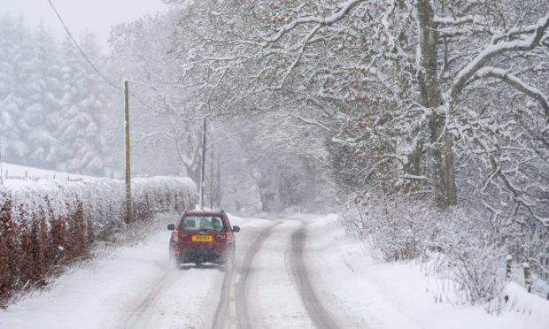
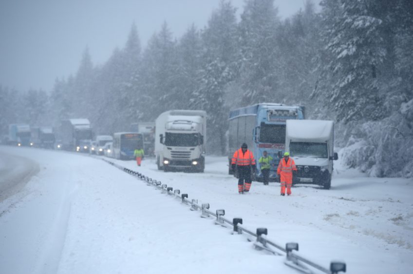
Blizzards have been forecast in Tayside as locals brace for five nights of snowfall and a series of severe weather warnings.
More than 1ft of snow could land in the space of a single day as low temperatures continue into February.
Three Met Office yellow weather warnings will come into force throughout the week, starting on Monday evening and enduring until Saturday morning.
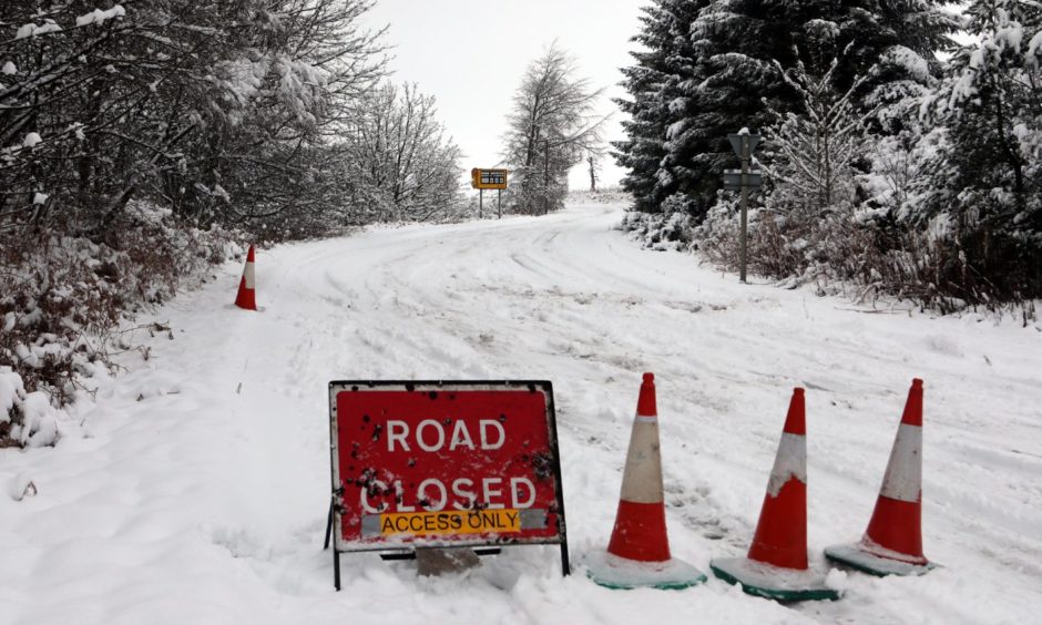
The latest cold spell – which will span six days and five nights in total – is expected to bring further travel disruption, and could leave some rural routes and communities cut off.
Though Fife is expected to miss the worst of the wintry showers, Angus and Perthshire are expected to be badly affected.
Forecast of blizzards and persistent snowfall
The first of the warnings is for snow and ice, and will be in force from Monday at 10pm until midnight on Tuesday. It covers almost all of Tayside and Fife, except for some coastal areas.
Forecasters say a band of rain will turn to snow as it pushes north-eastwards.
According to the warning, up to 8in of the white stuff is possible on the highest routes, where “drifting and temporary blizzard conditions may occur”. Smaller accumulations are likely at lower levels.
A second warning for snow will cover most of Perthshire and Angus. It will be in force throughout the whole of Wednesday.
The Met Office says snowfall will persist throughout the day and be “heavy at times”.
It is most likely to land on higher ground, where up to 15.7in could land.
The warning reads: “Further spells of snow, heavy at times, will continue to affect parts of northern England and Scotland during Wednesday.
“Snow is most likely to fall on higher ground, mainly above 200-300m (656-984ft). Significant accumulations of 10-20cm (3.9-7.9in) are possible, perhaps as much as 40cm (15.7in) across the Grampians.
“This amount of snow could bring disruption to travel across trans-Pennines routes and the higher roads across the Southern Uplands and Grampians.”
The final snow warning comes into place first thing on Thursday morning and will last until Saturday at 6am. It covers much of Perthshire and Angus.
The Met Office said the snowfall is forecast to endure across north and north-eastern areas of Scotland until early in the weekend, when it should clear.
The warning reads: “Above 150m (492ft) some 10-20 cm of snow is likely, with locally 30cm (11.8in) above 250m (820ft).
“For lower levels, away from eastern coasts, where rain is more likely, 2-5 cm (0.8-2in) of snow is possible.
“As colder air sinks south later Friday, snow will likely fall at all levels, though by then it is unlikely to be as heavy.
“As well as heavy snow, strong winds will be an additional hazard, with blizzard conditions likely at times.”
Dundee winter wonderland
It comes after Dundee woke up to a winter wonderland on Monday morning following heavy snowfall overnight.
The city had missed out on much of the flurries which brought white-out conditions to parts of Tayside and Fife throughout January.
Many locals headed out to make the most of the weather.
