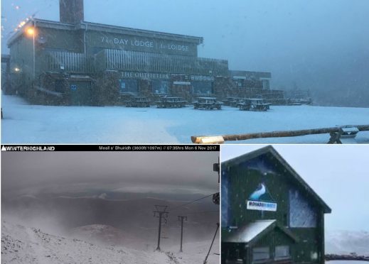
Winter sports lovers have been left giddy with excitement after Scotland’s ski slopes began posting videos and images of the season’s first snowfalls.
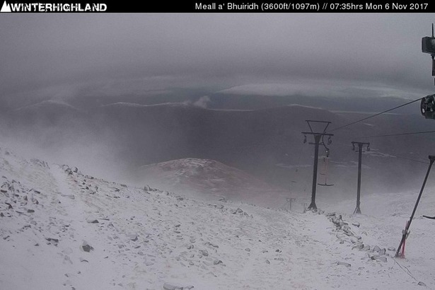
Cairngorm Mountain Ltd, Glencoe Mountain Resort and Nevis Range experienced flurries of the white stuff across the weekend and into Monday morning – with more forecast in the coming weeks.
Winterhighland webcams at the resorts also captured dustings across the weekend and into Monday morning.
On Sunday morning Nevis Range posted on social media: “Winter is most definitely on its way!”
With all this natural #snow & help from the #snowfactory, it'll soon be that time of year again! So start dusting off your #skis & #boards pic.twitter.com/xnx7DPg6gf
— Glencoe Mountain (@glencoemountain) November 5, 2017
And the Met Office is predicting more snow on Scotland’s peaks in the coming weeks.
A long range forecast from the organisation – valid from Friday, November 10 until Sunday, November 19 – said: “A spell of wet and windy weather is possible for most on Friday with a risk of gales or severe gales, especially in the northwest, although details are uncertain at this range
“Sunshine and showers will then follow through the weekend, the showers possibly turning wintry with some snow over high ground in the north. The best of the driest and brightest weather is likely in the south and southeast, especially on Sunday.
“Monday may be more settled with a changeable pattern then becomes established through the rest of the week. There will be drier days interspersed with spells of rain.
“Temperatures will be generally near normal, but rather cold in settled spells with night frosts.”
