The big freeze is forecast to continue with plummeting temperatures enduring and snowfall forecast to hit Tayside and Fife.
The UK experienced its coldest night of the winter from Wednesday into Thursday with the mercury plunging to -14.4C in Braemar – making it the coldest place in the country since 2012.
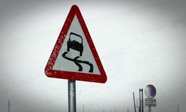
Locally, Strathallan Airfield recorded a low of -6.4C with Traffic Scotland warning motorists across the country to take care on roads due to the temperatures on Thursday morning.
⚠️Weather Warnings ⚠️@metoffice have updated the weather warning for;
• SNOW & ICE ?️ today from 6pm until 12pm tomorrow to now only affect Highlands, Aberdeen, Aberdeenshire, Moray, Angus, Fife, Scottish Borders and East Lothian
more info https://t.co/cvGhDOqBe8 pic.twitter.com/tN6RvROitG
— Traffic Scotland (@trafficscotland) January 31, 2019
And the Met Office said conditions from Thursday evening into Friday morning will be equally low, if not colder; with -7C possible in parts of Perthshire.
A Met Office yellow warning for snow and ice is in place until noon on Friday with wintry showers possible in Dundee, Fife and Angus.
Widespread snowfall is also expected to land across Courier country on Sunday as cold conditions endure into next week.
Met Office meteorologist Alex Burkill said: “Last night was a very cold night and it is probably going to be similarly cold this coming (Thursday) night. In your area temperatures will be about -6C, it could even be -7C. So it is similar temperatures to Wednesday night.
“In terms of snow I think you are going to be largely dry throughout Thursday night but we couldn’t rule out the possibility of snow towards the coast. It could fall as rain or sleet.
“Even through much of Friday a few showers are possible.”
Locally, he said the worst of the snowfall from Thursday into Friday would be in rural Angus and Perthshire. The “far north” of Scotland is expected to be worst hit.
Very cold out there, with #A835 at #Aultguish currently showing -8! We have 34 gritters out throughout the night and morning patrolling and treating. If out and about please #Takecare and #DriveSafe pic.twitter.com/jnxXuJlUzL
— BEAR NW Trunk Roads (@NWTrunkRoads) January 31, 2019
“Showers are feeding in from the north and as they head to higher ground are dying out, only a few will make it through,” Mr Burkill added.
“On Friday night, mostly to the north, we may see a few showers making it across. For the rest of Saturday into Sunday it is looking like largely fine and dry weather.
“On Sunday there is a system coming in from the west, showers could be falling as sleet or snow in your neck of the woods.”
He said coastal areas would only see a small amount of snowfall but that further west, including Perthshire, could see several inches of the white stuff.
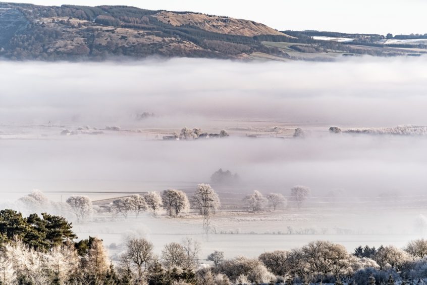
Thursday’s freezing weather led to a huge band of fog stretching across the River Tay – with views on both the Dundee and Fife sides completely blocked.
Elsewhere parts of England and Wales have been issued with a severe amber weather warning by the Met Office, with up to 4in of snow possible.
