Documents that shed light on the history of our ancestors went live online this week.
They join a treasure trove of material on the Scotlands Places website, which now brings together records from three of the country’s national archives the Royal Commission on the Ancient and Historical Monuments of Scotland (RCAHMS), the National Archives of Scotland (NAS) and the National Library of Scotland (NLS).
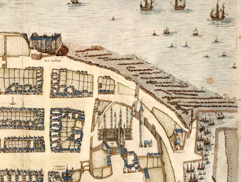
Those behind the project hope the website will interest amateur genealogists and professional researchers alike. Additions include town plans from 1580 to 1919. For the cities, beautiful and accurate maps exist from the 17th century. Old St Andrews is also featured.
Culture minister Fiona Hyslop said, “Anyone who has ever explored our national archives will undoubtedly have uncovered something remarkable, fascinating or completely unexpected.
“By providing online access to these documents, along with newly digitised historic maps, ScotlandsPlaces brings these rich resources into the digital age and makes them available to new audiences.”
Chris Fleet, senior map curator at NLS, said, “Maps present history in one of its most enthralling forms and the maps which have just gone live on ScotlandsPlaces collectively offer an unrivalled resource for understanding the history of Scotland’s landscape.”
Visit the site at www.scotlandsplaces.gov.uk
