Stunning new photographic images are set to help the Broughty Ferry lifeboat service cut its response times during emergencies on the River Tay.
A Skywatch Civil Air Patrol aircraft from the Scottish Aero Club at Perth (Scone) Airport carried out photo reconnaissance on behalf of the team at the RNLI station.
The mission’s objective was to photograph sandbanks along the Tay at low tide to assist the RNLI in determining safe routes for lifeboats during emergencies.
The sandbanks are constantly changing and can pose a real hazard to the lifeboat crew as they save lives both on the river and out at sea.
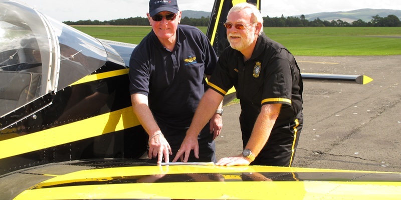
Skywatch pilot Keith Boardman was flying his Vans RV-12 aircraft, which he built himself in his garage over a two-year period.
His observer and photographer, fellow Scottish Aero Club pilot Mike McGreavey, is also one of the RNLI duty launch managers.
With the cooperation of RAF Leuchars and both Dundee and Perth airports, the mission was accomplished successfully.
Keith said: ”We were attempting to find channels between the sandbanks that would enable RNLI lifeboats to take ‘short cuts’, saving vital minutes during emergencies.
”Our photographs and video film will now be analysed by the RNLI and we hope that this will enable future call-outs by the lifeboat to be made as expeditiously and safely as possible in the Tay estuary.”
Their efforts will prove invaluable to crew at Broughty Ferry and in time to all who take vessels out into the Tay.
And lifeboat operations manager Dave Martin said he and his colleagues were delighted with the assistance offered by Skywatch.
”Many years ago we had a study of the sandbanks carried out but they can shift quite dramatically and are constantly affected by the weather,” he said.
”The Abertay Sands, off Tentsmuir Point, are particularly dangerous both for people walking and for boats, which can easily run aground.
”If we have to send a boat out to St Andrews or, as we did on Wednesday of last week, head out to investigate reports of a vessel run aground, it is important that we know roughly where the sandbanks are so that we can safely negotiate over and around them.
”The banks are quite unlike normal sands and they are changing all the time, shifting as a result of the weather or as a result of all the development that is going on down the river, particularly at Dundee.
”They are far from flat and there can be 20-feet holes. In fact they can be like a small mountain range at times.
”If we know what is beneath us at low water and high tide then we will have a much better picture of how much time it will take us to get across.
”Although we have a depth sounder, it is handy to have a mental picture of what is beneath our boats,” he added.
”We really are very grateful to Skywatch for their assistance.”
Once the RNLI team have had a chance to study the images and footage taken by Keith and Mike they will use the information to prepare a new training programme for the Broughty Ferry crew.
The study will also benefit other river users as the RNLI’s Sea Safety team will use the information on their regular visits to local yacht and boating clubs.
The Skywatch Civil Air Patrol is a voluntary public service organisation comprising privately-owned aircraft, operated by pilots and observers who give their time and resources freely where aerial observation can bring direct or indirect benefits to the local communities in which they operate.
The Lowland Unit, which has its headquarters at Perth (Scone) Airport, has been involved in a number of searches for missing people. Earlier this year it also joined the search for a humpback whale which had become ensnared in a fishing net.
