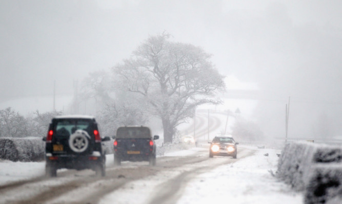
Parts of the country could see snow next week when an Arctic air mass creates freezing overnight conditions as it sweeps across the country.
The Met Office has also issued a handful of severe weather warnings for this Thursday and Friday for the Tayside, Fife, Grampian and Central regions.
An active frontal system will cross Northern Ireland from the west and deliver a band of heavy rain, forecasters warned.
Accumulations of up to 20mm are possible “quite widely” and the Met Office warned of the continued risk of flooding in areas where the ground was already swamped from a record-breaking December.
Strong to gale force south-easterly winds could prove an additional hazard, forecasters predicted.
Chief meteorologist Paul Gundersen said: “Further heavy and prolonged rain is expected on Thursday across much of eastern Scotland.”
After the weekend, colder and drier conditions will spread southwards and create conditions typical for January.
By the middle of next week, temperatures are predicted to plummet, ranging between 0C and 5C, and there will be a mix of sunshine and showers.
The Met Office said: “These showers are increasingly likely to fall as sleet or snow to low levels across the north of the UK.
“There is also a risk of some sleet and snow in the south, although many areas here are likely to be dry with some sunshine for much of the time.”
It is too early to predict exactly where the snow could fall, forecasters added.
Meteorologist Emma Sharples said: “Areas exposed to a northerly wind might perhaps be more exposed to seeing those showers, but until we know what weather features are going to run through that wind coming from the north, it’s a bit difficult to say any more than that.”
