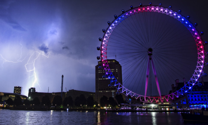
Strong and violent storms will mark the end of a three-week heatwave which has seen the hottest temperatures in seven years, weather experts have said.
Thunder, lightning and hail began overnight and will last intermittently throughout today and tomorrow, coupled with torrential rain and the risk of flash floods.
The sharp change in weather comes after weeks of scorching temperatures.
The Met Office issued a low-level alert warning of storms and torrential downpours across Scotland, England and Wales.
Central, Tayside and Fife have been issued with a yellow warning of heavy rain.
Forecaster Brendan Jones of MeteoGroup said: “In the last few weeks an area of high pressure has hung over the UK creating settled, very hot conditions.
“But now air is pushing in from the Atlantic and meeting this humid air, and the combination is causing these strong and violent storms that will last on and off throughout the day and linger into Wednesday.
“The main threat is of flash flooding from localised but torrential rain, especially as the ground is so dry and solid it will not soak up the water very easily.
“Another threat is from the frequency of the lightning bolts, which could come down to the ground and cause damage.
“It will remain quite hot and humid in some areas today, but generally everywhere will now start to cool off.”
He added: “The public should be aware of the risk of localised disruption to travel, and more generally to summer holiday activities, due to, for example, surface water flooding.”
The overall trend for the rest of the week will see the UK gradually cool down, with a continuing risk of showers and thunderstorms. By next week the temperatures are expected to settle in the low 20s.
